What is recorded here
Indicated is a crannog in Oakport Lough, County Roscommon, Ireland. It occupies a circular overgrown area twenty-three metres across and one to one-and-a-half metres high in deep water at the lake centre. A narrow three-metre shelf beneath the surface holds horizontally laid timbers visible at the south edge. Another crannog sits one hundred and sixty metres to the south-southwest.
In deep water at the centre of Oakport Lough, a subrectangular lake (dims. c. 700m NW-SE; c. 700m NE-SW) on the Boyle River, c. 300m from the SW and SE shores. Circular overgrown area (diam. 23m; H 1-1.5m) of earth and stone with a narrow shelf (Wth c. 3m) beneath the water, where horizontally-laid timbers can be seen at S. Crannog (RO006-063----) is c. 160m to the SSW.
Compiled by: Michael Moore
Date of upload: 24 August 2010
The monument record does not grant public access. Check the route and ask the landowner before entering private land.
- What survives
- Recorded monument
Places near here
 Cootehall Bridgebridge · 722 yd
 IndicatedBawn · 737 yd
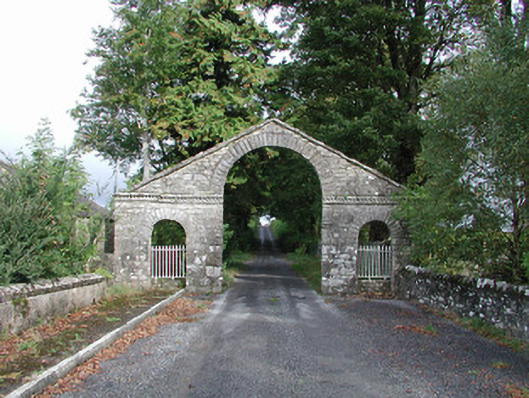 The Bawndemesne walls/gates/railings · 749 yd
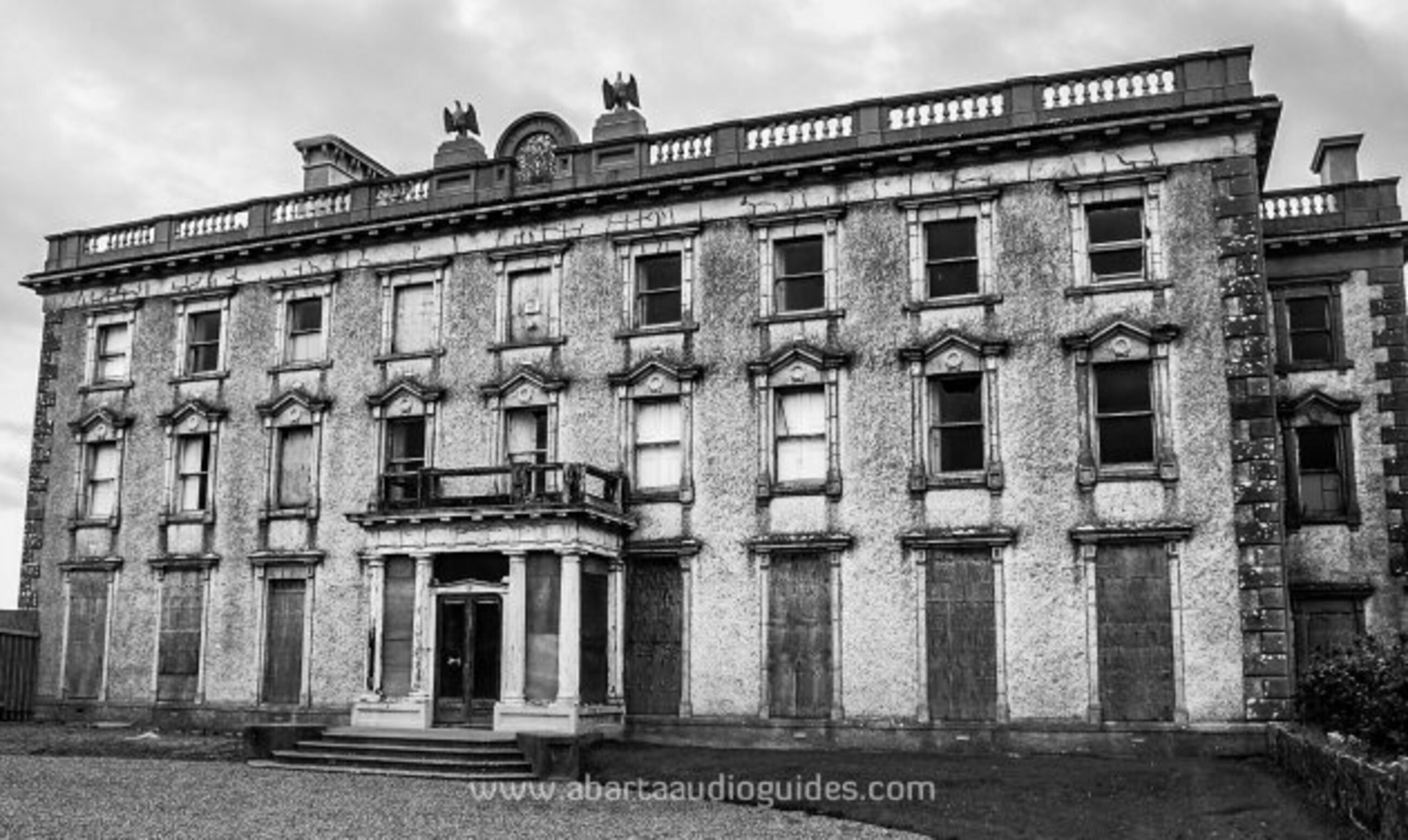 Enclosure in LisfarrellboyEnclosure · 1304 yd
 Embanked enclousreFairy fort / earthen ringfort · 1430 yd
 Hughestown WoodForest · 1.6 mi
 Errironagh WoodForest · 2.0 mi
 Longford HillMountain / peak · 2.1 mi
 Swallow IslandIslet · 2.8 mi
 Lough Key Forest ParkWood · 2.9 mi
 Ash IslandsIslet · 3.2 mi
 Erris BayBay · 3.6 mi