
What is recorded here
On flat dry ground c. 40m from the S shore of the triangular Laundry Lough (dims c. 500m E-W; c. 250m N-S). Circular overgrown area (diam. 25-26m) which remains unplanted in a coniferous forest defined by a scarp (H 0.2-0.8m). There is no visible fosse or identifiable original entrance.
Compiled by: Michael Moore
Date of upload: 24 August 2010
The monument record does not grant public access. Check the route and ask the landowner before entering private land.
- What survives
- Recorded monument
Places near here
 Kiltidean Church and Burial Ground (Site of)Church · 929 yd
 ToberdorraghHoly well · 1227 yd
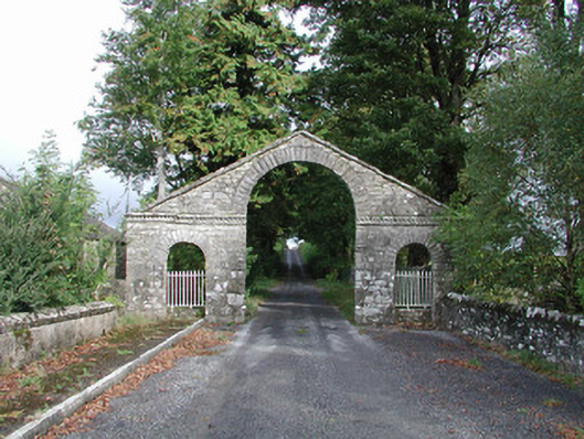 The Bawndemesne walls/gates/railings · 1587 yd
 Rockingham Housegate lodge · 1594 yd
 Errironagh WoodForest · 1.5 mi
 Longford HillMountain / peak · 1.7 mi
 Hughestown WoodForest · 2.0 mi
 Lahan IslandIslet · 2.1 mi
 Trinity IslandIslet · 2.9 mi
 Erris BayBay · 3.1 mi
 Moylung Castle (in ruins)Castle, unclassified · 4.0 mi
 Battle of Áth an Chipbattle · 4.3 mi
Other information
Photo: Credit not shown in the picture search · Rights wording not checked; contact us if this picture should be removed