What is recorded here
Indicated is a fairy fort or earthen ringfort in Oakport Demesne, County Roscommon, Ireland. It occupies the crest of a southeast-facing slope as a circular grass-covered area measuring forty-two metres east-west and forty metres north-south. An earthen bank surrounds the centre, while a shallow fosse cuts through the southwest and west sections where material was previously removed. No visible entrance breaks the continuous earthwork.
At the crest of the SE-facing slope of a rise. Circular grass-covered area with some bushes (diam. 42m E-W; 40m N-S) defined by an earthen bank (at E: Wth 4.2m; int. H 0.1m; ext. H 1.25m; at W: Wth 6.5m; int. H 0.75m; ext. H 1.75m), with a fosse (Wth of top 3.4-3.7m; D 0.05-0.1m) SSW-N-E which has been quarried SW-W. There is no visible entrance.
Compiled by: Michael Moore
Date of upload: 24 August 2010
The monument record does not grant public access. Check the route and ask the landowner before entering private land.
- What survives
- Recorded monument
Places near here
 Kiltidean Church and Burial Ground (Site of)Church · 222 yd
 ToberdorraghHoly well · 917 yd
 Rockingham Housegate lodge · 998 yd
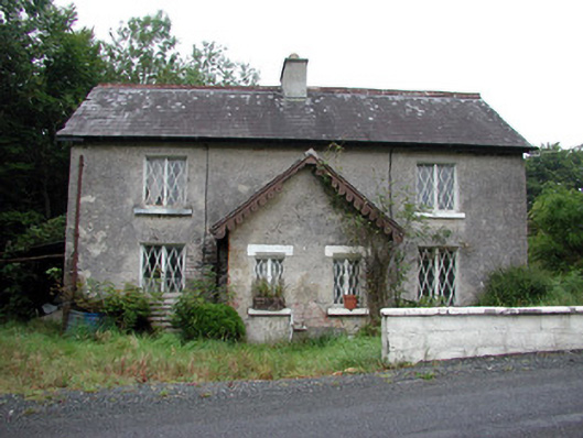 worker's houseworker's house · 1275 yd
 Longford HillMountain / peak · 1.1 mi
 Errironagh WoodForest · 1.2 mi
 Castle IslandIslet · 1.5 mi
 Horse-chestnutHorse-chestnut · 1.6 mi
 Green IslandIslet · 1.6 mi
 Lough Key Forest ParkWood · 1.9 mi
 Erris BayBay · 2.5 mi
 Moylung Castle (in ruins)Castle, unclassified · 3.5 mi