What is recorded here
Shown on the OS 25-inch map as a square mound (est. max. c. 16m ENE-WSW; c. 16m NNW-SSE). Extensive land clearance and field consolidation has occurred in this area, and no visible surface traces survive.
Compiled by: Gearóid Conroy
Date of upload: 10 October 2012
The monument record does not grant public access. Check the route and ask the landowner before entering private land.
- What survives
- Recorded monument
Places near here
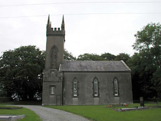 Nurney Churchchurch/chapel · 500 yd
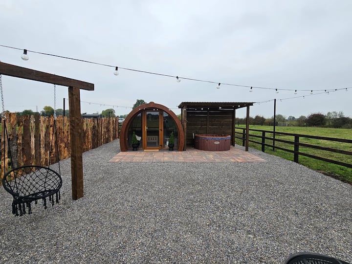 Enclosure in BlackditchEnclosure · 816 yd
 Enclosure in Nurney DemesneEnclosure · 970 yd
 Site of CastleCastle, unclassified · 1260 yd
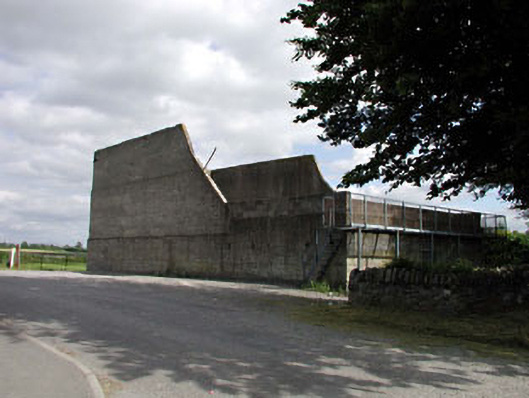 handball alleyhandball alley · 1426 yd
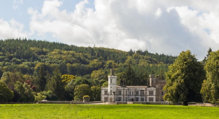 CastleCastle, unclassified · 1456 yd
 Brookfield WoodWood · 2.5 mi
 Sitka SpruceSitka Spruce · 3.4 mi
 Battle of Kilrushbattle · 3.5 mi
 Japanese GardensHeritage attraction · 3.6 mi
 Irish National Stud and Japanese GardensHeritage attraction · 3.6 mi
 History of Moat of ArdscullVisitor information · 4.9 mi