
What is recorded here
Reported by Jean-Charles Caillere; faintly visible on Digital Globe aerial imagery as a circular area (diam. c. 40m) enclosed by the cropmark of a fosse, in tillage. Also visible immediately to the S are two parallel linear cropmarks of a former shelterbelt of trees which formed this part of the townland boundary separating Nurney Demesne from Balkinstown townland to the SW. A second levelled enclosure (KD027-029----) lies c. 100m to the WSW.
See attached image: KD027-058----_01 Snip from Digital Globe aerial imagery.
Compiled by: Gearóid Conroy
Date of upload: 9 June 2023
The monument record does not grant public access. Check the route and ask the landowner before entering private land.
- What survives
- Recorded monument
Places near here
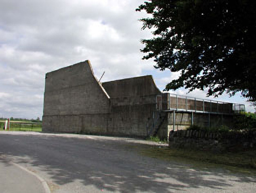 handball alleyhandball alley · 967 yd
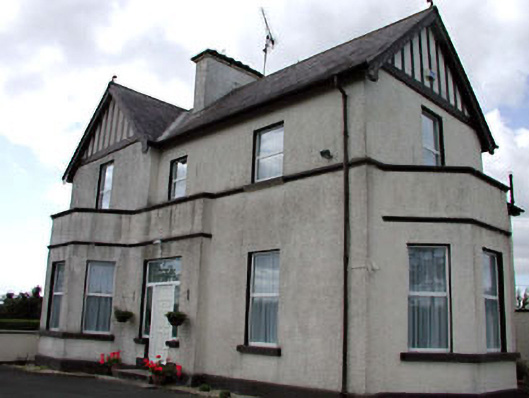 The Presbyterypresbytery/parochial/curate's house · 972 yd
 Site of CastleCastle, unclassified · 1032 yd
 Church (Site of)Church · 1105 yd
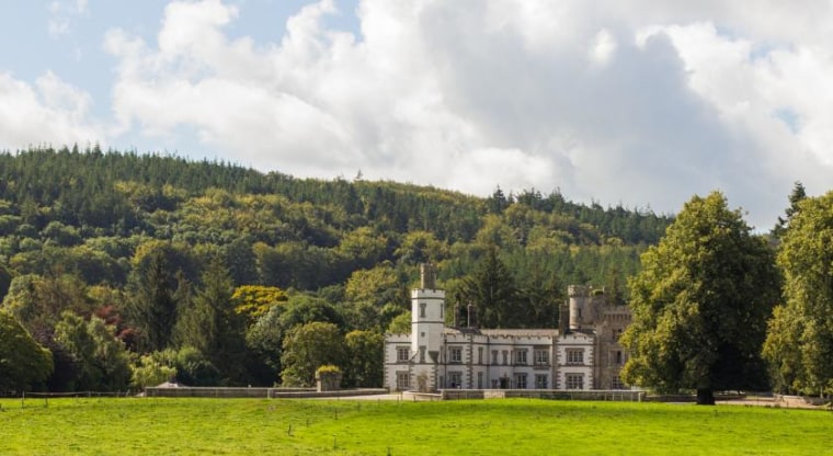 CastleCastle, unclassified · 1180 yd
 Site of NunneryReligious house, unclassified · 1295 yd
 Brookfield WoodWood · 2.3 mi
 Derryvullagh IslandForest · 3.1 mi
 Battle of Kilrushbattle · 3.6 mi
 Japanese GardensHeritage attraction · 4.1 mi
 Irish National Stud and Japanese GardensHeritage attraction · 4.1 mi
 History of Moat of ArdscullVisitor information · 4.6 mi
Other information
Photo: Credit not shown in the picture search · Rights wording not checked; contact us if this picture should be removed