What is recorded here
Nicholastown preserves a large limestone bawn on a sharp western cliff where Richard Keatinge held land in 1640. Its south and east walls still stand beside a tower house tucked into the north-west angle, while the northern boundary has fallen into a low rubble mound. The chance arrangement of tower, curtain wall and dropping rock suggests a residence built to command the edge rather than merely occupy it.
According to the Civil Survey (1654-6) the land at 'Nickolstowne' was owned by 'Richard Keatinge of Nickolstowne, Esqr Irish Papist' in 1640 and 'Upon the sd lands stands a Castle, the walls of a house within a bawne' (Simington 1931, vol. 1, 317). On the W edge of limestone outcrop with a sharp drop immediately W of the bawn. Tower house (TS082-043002-) is located in the NW angle of the bawn. It is unclear whether the tower house is incorporated within the bawn or whether the bawn wall runs up to the walls of the tower house. If the latter is the case the bawn would have to kink in to meet the tower house both at the W end of the N wall and at the N end fo the W wall. The bawn is largely intact (dims. 58.9m N-S x 30.2m E-W).The N wall of the bawn has collapsed and only a low mound of rubble survives, it appears to turn in towards the tower house in the NW angle but this is unclear. The E end of the N wall of the tower house is obscured by ivy, no evidence of a return on the external face of the batter. The S end of the bawn is the best preserved, the S wall survives intact, built of rubble limestone, roughly coursed. There is a small breach near the middle of the wall above which the masonry has collapsed. There is a second breach (Wth 1.6m) E of this, and a large breach at the E end of the S wall. The E wall (3m H to base of coping; 0.9m T) survives intact at the S end for a length of 19.5m, no visible features. At the N end of this intact length of wall there is a broken return, projecting internally. The E wall has collapsed beyond this and becomes a low mound of rubble. The S end of the W wall (0.9m T) also survives intact for 21m. Towards the S end of the W wall there are two possible put-logs, c. 1.8m above the interior and 0.7m apart. Internally the top of the bawn wall is defined by a stone string-course or projecting coping with splayed coping stones above.
Compiled by: Jean Farrelly
Date of upload: 26 August 2011
Richard Keatinge held the lands at Nicholastown in 1640, and a castle is recorded as standing there, described as 'the walls of a house within a bawn'. The site is remembered through 17th-century land surveys, reflecting the presence of Catholic gentry in the region during the early modern period.
The monument record does not grant public access. Check the route and ask the landowner before entering private land.
- What survives
- Recorded monument
Places near here
 Nicholastown Castle (in ruins)Castle, tower house · 27 yd
 Enclosure in NicholastownEnclosure · 988 yd
 Man-made underground passage in GarryntempleMan-made underground passage · 1261 yd
 Derrygrath Church (in ruins)Church · 1.1 mi
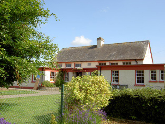 Grange National Schoolschool · 1.1 mi
 Ballindoney Castle (in ruins)Castle, tower house · 1.5 mi
 DeerparkWood · 1.8 mi
 Marlfield Forest Recreation AreaWood · 2.1 mi
 Woodcock HillMountain / peak · 3.4 mi
 European long distance path E8 - part IrelandWalking route · 4.2 mi
 Cahir CastleHeritage attraction · 4.4 miSiege of Cahir Castlesiege · 4.6 mi