
What is recorded here
Straddling E-W orientated S-facing break of slope in gently undulating pasture. Slightly raised roughly circular area (105m N-S; 97m E-W) enclosed by an earthen scarped edge (ext. H 1.4-2.6m) with a possible external fosse (Wth c. 4m). The possible fosse encloses the site SW-NW where a modern field boundary bank is located concentric with, and at a constant of 4m distance from, the external base of the scarped edge. The original entrance is not recognisable. The N half of the interior is level and the S half slopes gently facing S, reflecting the underlying natural slope. There is an enclosure (SL005-075001-) in the NW quadrant.
Compiled by: Patrick F. O'Donovan
Date of upload: 21 April 2011
The monument record does not grant public access. Check the route and ask the landowner before entering private land.
- What survives
- Recorded monument
Places near here
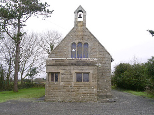 Saint Kevin's Church (Drumcliff)church/chapel · 443 yd
 Enclosure in AghagadEnclosure · 1112 yd
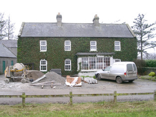 Ivy Househouse · 1162 yd
 CashelgarranFairy fort / stone ringfort · 1452 yd
 Atlantic SheepdogsHeritage attraction · 1.2 mi
 CastleCastle, unclassified · 1.3 mi
 Kennel WoodWood · 1.6 mi
 Upperglen WoodForest · 1.7 mi
 de Cuellar Armada MonumentMemorial · 2.0 mi
 InishnagorIslet · 2.0 mi
 Streedagh BeachVisitor information · 2.3 mi
 BenbulbinMountain / peak · 2.5 mi
Other information
Photo: Credit not shown in the picture search · Rights wording not checked; contact us if this picture should be removed