What is recorded here
Located on a small drumlin. This is a circular overgrown area (diam. 23m) defined by traces of an earthen bank that is largely reduced to a scarp (at S: H 1m) with an external fosse (at S: Wth of top 5; Wth of base 2m; ext. D 0.9m) which is incorporated into a drain W-NE. There is a modern entrance at SE, but the original entrance is not identified.
From the National Monuments Service (Archaeological Survey of Ireland) record MO003-019
Places near here
Photo credits
- National Inventory of Architectural Heritage
- Kenneth Allen, Geograph · CC BY-SA 2.0
- Wsiegmund, Wikimedia Commons · CC BY 2.5
- Vyacheslav Argenberg from Seattle, WA, USA, Wikimedia Commons · CC BY 2.0
- Linda Bailey, Geograph · CC BY-SA 2.0
- Colin Park, Geograph · CC BY-SA 2.0
- Andreas F. Borchert, Wikimedia Commons · CC BY-SA 3.0 de
- James O'Neill, Wikimedia Commons · CC BY-SA 4.0
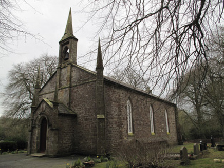 Saint Muadain's Church (Errigal Trough)Church/chapel · 583 yd
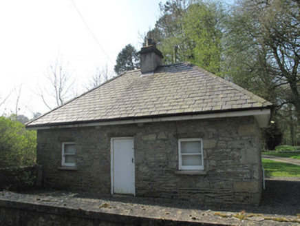 gate lodge632 yd
 Medieval Church & Graveyard: Aghaloo Church in RouskyMedieval Church & Graveyard: Aghaloo Church · 3.7 mi
 Medieval Parish Church; Graveyard also Site of C13th Battle: Carnteel Church in CarnteelMedieval Parish Church · 3.9 mi
 Sliabh Beagh WayWalking route · 5.3 mi
 Sitka Spruce5.5 mi
 Caucasian Fir5.5 mi
 Sliabh Beagh Hotel and Tourism CentreVisitor information · 8.3 mi
 Probable site of medieval church in Annagh, EglishProbable site of medieval church · 8.6 mi
 Slieve Beagh se TopMountain / peak · 9.0 mi
 Monaghan County MuseumMuseum · 9.2 mi
 Battle of BenburbMajor battlefield · 9.4 mi
More archaeology and monuments in County Monaghan · All of County Monaghan

What do you know about this place?Tap to add a comment or ask a question