What is recorded here
In undulating average pasture, located on a slight rise. Views are extensive to W and N, but restricted somewhat by rising ground to S.
Slightly raised circular area (29.3m N–S; 28.8m E–W) defined by an earthen bank with an external fosse, outside which at SE–WNW are remnants of a second bank. The inner bank (Wth 4m at NE, 4.5m at WSW; int. H 1m at NE, 0.5m at WSW; ext. H 1.6m at NE, 1.5m at WSW) is compact and well defined, with small areas of erosion at S and N. The fosse (Wth 4.5-4.8m; D 0.2m) survives as a broad, very shallow depression, most clearly traced at W, and marked by a growth of rushes. Traces of the levelled outer bank are evident only as a broad, flat band (Wth c. 3-4m) of hard, rough ground, very slightly raised at W, distinguished by differential vegetation growth. There are a number of narrow eroded gaps (Wth 0.6-1.4m) and low areas in inner bank at NW and at S.
The inner bank is ringed with hawthorn, gorse and brambles, with grasses and rushes in the interior.
Compiled by: Jane O’Shaughnessy
Date of upload: 25 April 2019
The monument record does not grant public access. Check the route and ask the landowner before entering private land.
- What survives
- Recorded monument
Places near here
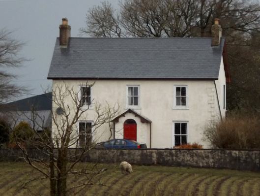 mansemanse · 255 yd
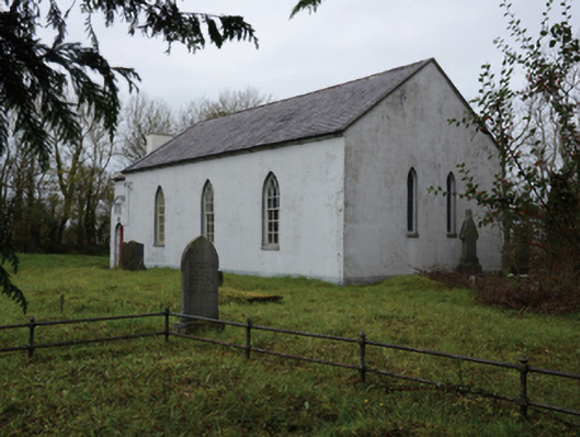 Mullafarry Presbyterian Churchchurch/chapel · 259 yd
 Enclosure in MullafarryEnclosure · 552 yd
 TobercashleenHoly well · 706 yd
 Bawn in FarraghBawn · 1333 yd
 Ballinteean CastleCastle · 1627 yd
 Battle of Killalabattle · 1.5 mi
 Green IslandIslet · 1.9 mi
 Battlefields of MoyneBattlefield · 2.0 mi
 Moyne AbbeyHeritage attraction · 2.3 mi
 Rinnaun PointHeadland · 2.5 mi
 Gortabradawn PointHeadland · 2.8 mi