
Places near here
Photo credits
- Kmcnamee / Wikimedia Commons, commons.wikimedia.org
- National Inventory of Architectural Heritage
- Picture: Fun.ie
- C O'Flanagan, Wikimedia Commons · CC BY-SA 2.0
- C O'Flanagan, Geograph · CC BY-SA 2.0
- Ilja Klutman from Ballinakill, Ireland, Wikimedia Commons · CC BY-SA 2.0
- CaitNi, Wikimedia Commons
- JP, Geograph · CC BY-SA 2.0
- Garry Dickinson, Geograph · CC BY-SA 2.0
- Kieran Campbell, Geograph · CC BY-SA 2.0
- Dieglop, Wikimedia Commons · CC BY-SA 4.0
 Kilcloon, Blackhall GaelsGAA ground · 1.1 mi
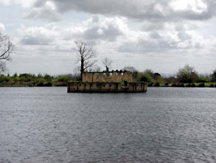 Larchill HouseFolly · 1.1 mi
Explorer Tom Another Larchill House here, but this one would post a selfie with a dramatic filter. It's part of a whole gang of…
 Larchil Arcadian GardensHeritage attraction · 1.3 mi
Explorer Tom Larchill is what happens when a farm decides ordinary fields are too sensible. Robert Prentice began turning the Meath…
 Saint Keiran's Church (Ballymaglassan)Church/chapel · 3.3 mi
Explorer Tom Saint Keiran's Church (Ballymaglassan) is writing a dating profile that says: 'Loves limestone and quiet graveyard…
 Catholic Church of the AssumptionChurch/chapel · 4.5 mi
Explorer Tom Catholic Church of the Assumption is sick of being asked if it’s haunted, because it’s not, it’s just old. It has…
 RuinChurch · 4.7 mi
Explorer Tom Ruin in Rathregan would absolutely win a county fair for most derelict building, hands down. It’s right up on the slope…
 Conolly's FollyHeritage attraction · 5.3 mi
Explorer Tom Conolly's Folly looks like an obelisk that tried to grow arches and got carried away. I admire that sort of ambition…
 Leixlip Spa - BathSpring · 6.6 mi
Explorer Tom Leixlip Spa began with canal workers finding a warm mineral spring in 1794, and I can imagine the foreman immediately…
 Leixlip Spa - SpringSpring · 6.6 mi
Explorer Tom Leixlip Spa - Spring in County Kildare would post on social media about how it’s the main event while secretly being…
 Skreen CastleCastle, tower house · 11 mi
Explorer Tom Skreen Castle is overhearing every secret the walls have swallowed over the centuries and judging your life choices…
 CastleCastle, tower house · 13 mi
Explorer Tom Castle in Monktown is locked in an eternal feud with the rain, and honestly, it’s losing badly. You’ve got a Cistercian…
 MonasteryEcclesiastical residence · 20 mi
Explorer Tom Monastery in Slanecastle Demesne is no longer visible, which means it’s probably just a bunch of stories about…
More archaeology and monuments in County Meath · All of County Meath

What do you know about this place?Tap to add a comment or ask a question