What is recorded here
Situated on a level landscape, c. 200m W of Mulhussy castle (ME049-012----), which it probably served as a private or estate church. A church at Mulhussey in Kilclone parish does not occur in the ecclesiastical lists, but according to the Civil Survey (1654-6) most of the parish was owned by Edward Hussey in 1641 (Simington 1940, 151-2). The graveyard is marked as a rectangular feature on the 1836 and 1909 eds of the OS 6-inch map. Cogan (1862-70, 2, 361) records the foundations as being ’28 feet 10 inches by 14 feet, 10 inches (c. 8.8m x c. 4.5m)’ and Fitzgerald (1892) records two headstones dating from 1808 and 1736.
The base of the conserved, clay-bonded walls (Wth 0.7m; H 0.6m) of a rectangular building (ext. dims 10.1m E-W; 6.05m N-S; int. dims 8.7m E-W; 4.55m N-S) with a modern opening (Wth 1.85m) in the middle of the E wall are within a rectangular graveyard (dims c. 45m NW-SE; c. 35m NE-SW) defined by an earthen bank and hedge at SE, a wide fosse or moat (Wth of top c. 5m; D c. 2m) at SW and NW and the remains of a stone wall at NE. There are three headstones and some grave-markers, one of which is from a window (L 0.67m) with a chamfer and hole for a glazing-bar. The graveyard is within what is probably a moated site as 8m outside the graveyard wall at NE is a silted fosse (Wth of top 3m; Wth of base 1.2m; int. D 0.2m; ext. D 0.4m) and slight outer bank (Wth 3.5m; ext. H 0.2m), which when combined with the graveyard perimeters at SE, SW and NW enclose a rectangular grass-covered area (dims c. 45m NW-SE; c. 40m NE-SW).
The above description is derived from the published 'Archaeological Inventory of County Meath' (Dublin: Stationery Office, 1987). In certain instances the entries have been revised and updated in the light of recent research.
Compiled by: Michael Moore
Date of revision: 9 April, 2015
The church at Mulhussey was likely built as a private or estate church for Mulhussy Castle in the 17th or early 18th century. Its exact style is not recorded, but it is thought to have been a small, modest structure, serving the local area before being omitted from later ecclesiastical records.
The monument record does not grant public access. Check the route and ask the landowner before entering private land.
- What survives
- Recorded monument
Places near here
 Mulhussy CastleCastle, tower house · 206 yd
 Enclosure in MulhusseyEnclosure · 579 yd
 Concentric enclosure in MulhusseyConcentric enclosure · 1464 yd
 1798 MemorialMemorial · 1.1 mi
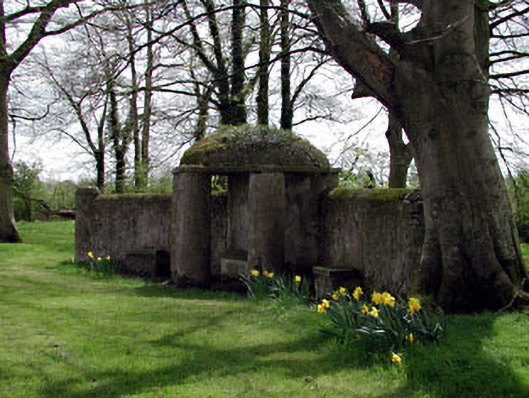 Larchill Housefolly · 1.2 mi
 Larchil Arcadian GardensHeritage attraction · 1.3 mi
 Rodanstown fortCastle, motte · 1.3 mi
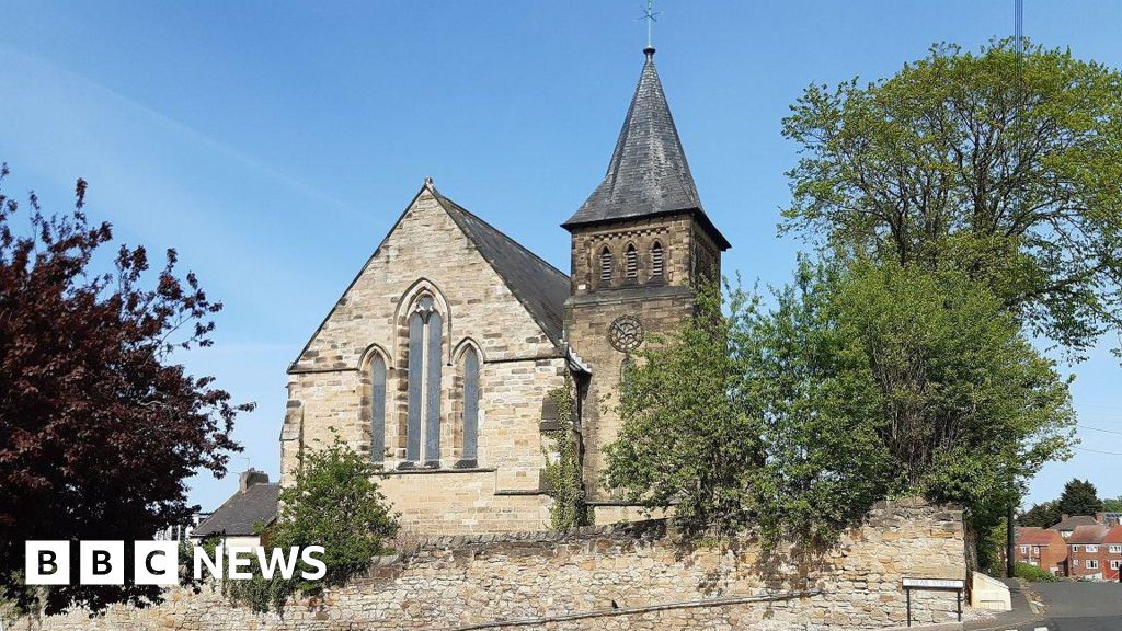 Church (Disused)Church · 1.4 mi
 MullaghMountain / peak · 1.6 mi
 Saint Oliver Plunkett 1625-1681Memorial · 2.3 mi
 Kilgar GardensHeritage attraction · 3.2 mi
 Common LimeCommon Lime · 3.9 mi