What is recorded here
Indicated is a circular grass fort on a Meath ridge where a later tree ring swallowed part of the original earth bank. The older rath still measures forty metres across, but its southeast edge has been taken into a wider sixty-seven-metre circular wood with a stone-facing bank and outer drain. In 1968 the trees were removed, exposing how much of the place had become hidden inside green growth rather than lost beneath it.
Situated towards the SE end of a broad NW-SE ridge. It is depicted as a circular wood (diam. c. 60m) on the 1836 and 1912 editions of the OS 6-inch map and it is described as ‘Reillystown Fort’ in italic lettering on the latter. The rath is a circular grass-covered area (diam. 42m WNW-ESE; 40m NNE-SSW) defined by a widely spread earthen bank (at NW: Wth of base 11m; int. H 0.4m; ext. H 0.4m) and outer fosse (at NW: Wth of top 8.5m; Wth of base 3m; ext. D 0.4m), but the bank is incorporated into the bank (at SE: Wth of base 4.5m; int. H 0.5m; ext. H 1.1m) of a tree-ring SE-WNW with an outer stone facing and an outer drain (ext. D 0.3m) SE-S-WNW. The bank of the tree-ring (diam. 67m NW-SE) and its hedge is separated by a berm (Wth 6-8m) from the fosse of the rath WNW-N-SE. The original entrance of the rath is not identified, and all the trees had recently been removed in 1968 (SMR file).
The above description is derived from the published 'Archaeological Inventory of County Meath' (Dublin: Stationery Office, 1987). In certain instances the entries have been revised and updated in the light of recent research.
Compiled by: Michael Moore
Date of revision: 9 April 2019
The monument record does not grant public access. Check the route and ask the landowner before entering private land.
- What survives
- Recorded monument
Places near here
 Reillystown FortArchaeological place · 2 yd
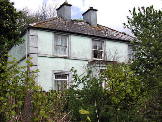 Riverviewhouse · 473 yd
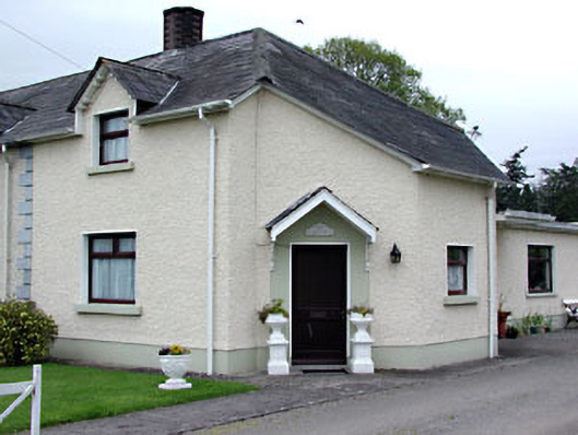 The Dreamhouse · 633 yd
 Saltford FortWood · 655 yd
 Middle WoodWood · 839 yd
 Moynalty Steam Threshing MuseumMuseum · 960 yd
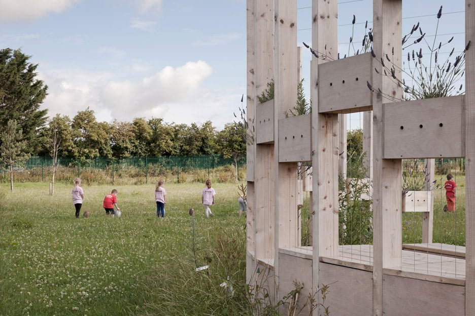 Moynalty Hedge SchoolArchaeological place · 1081 yd
 Castle (in Ruins)Castle, unclassified · 1326 yd
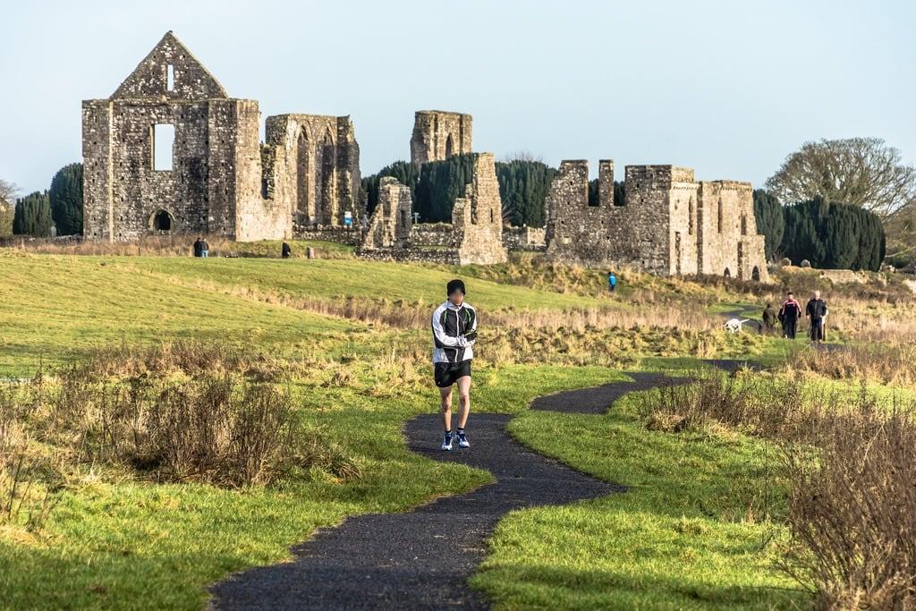 NewtownMountain / peak · 1644 yd
 CastleCastle, motte · 1.8 mi
 DeerparkMountain / peak · 2.2 mi
 John Mac MahonMemorial · 2.5 mi