What is recorded here
Indicated occupies a gentle southeast-facing slope in County Cavan, preserving a forty-five-metre circular embankment that appeared as a fort on early mapping before quarrying and lime burning transformed the land. The nearby roadside pit swallowed much of the original shape, yet traces of the ancient boundary may still emerge through the grass. That is what measurement and memory both require: seeing the hidden mark through later human change.
Located on a gentle SE-facing slope. A circular embanked enclosure (ext. diam. c. 45m) is depicted on the 1835 edition of the OS 6-inch map where it is described as a 'Fort' but there is a circular quarry (diam. c. 55m) at the roadside immediately to its S. The extent of the quarry is not depicted on the 1908 edition but the only feature present in 1970 (SMR file) was a double-fronted brick and stone-built lime-kiln. Traces of the enclosure could still be present distinct from the now backfilled and grass-covered quarry.
Compiled by: Michael Moore
Date of upload: 28 September 2022
The monument record does not grant public access. Check the route and ask the landowner before entering private land.
- What survives
- Recorded monument
Places near here
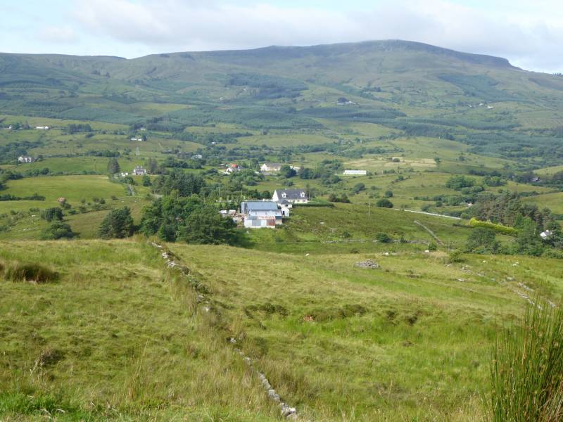 Tony FortArchaeological place · 462 yd
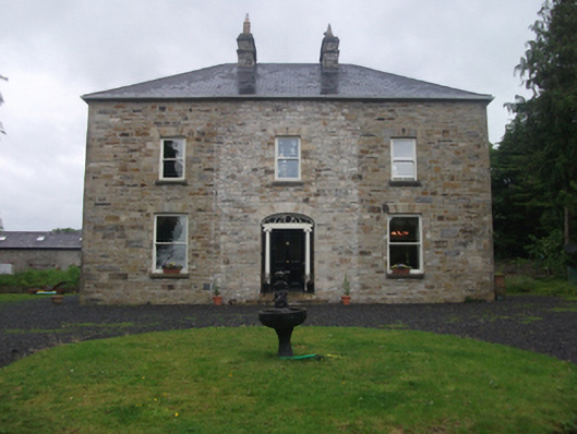 Moydristan Househouse · 523 yd
 IndicatedFairy fort / earthen ringfort · 978 yd
 CastleCastle, motte · 1422 yd
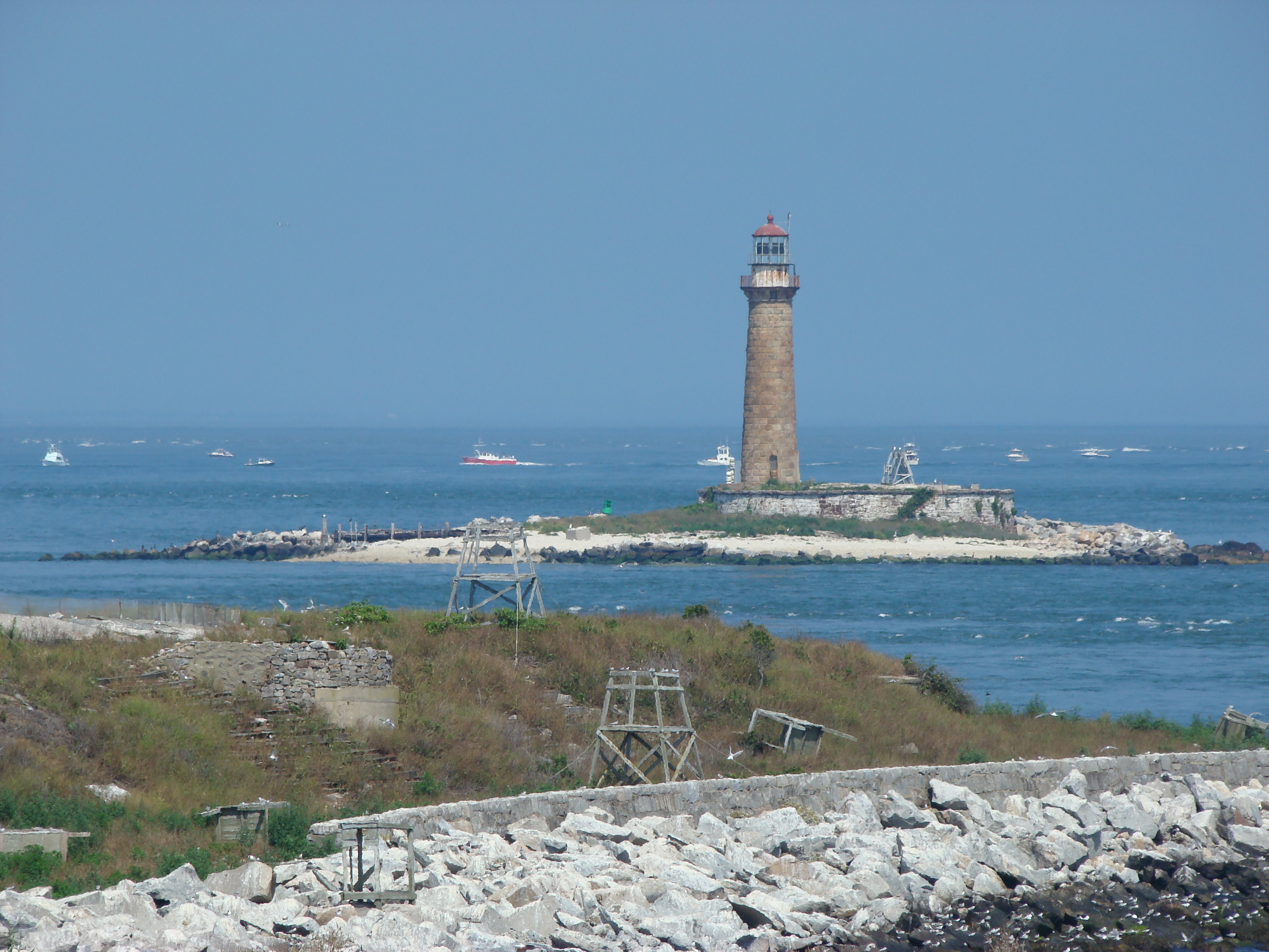 Gull IslandIslet · 1612 yd
 Crane IslandIslet · 1692 yd
 Carrick RockWood · 1.1 mi
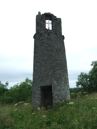 Maguire's Towerbell tower/stand · 1.1 mi
 Moynagh Upper ForestForest · 1.2 mi
 Aghakilmore LowerMountain / peak · 1.7 mi
 CarrickabaneMountain / peak · 1.7 mi
 R. C. ChapelChurch · 1.1 mi