What is recorded here
In undulating grassland, immediately NE of the site of Glennamaddy Union Workhouse. Poorly preserved circular rath (D 39m) defined by a bank and external fosse from NW through N to ENE; elsewhere a scarp forms the enclosing element. A field bank cuts the monument at SSE and SW. The interior is flat and featureless. On 3rd ed. of OS 6-inch map (1933), the words 'Burial Ground (Disused)' appear adjacent to this monument but this is more likely to have been associated with the workhouse than the ringfort. (Knight c. 1975, 112)
The above description is derived from the published 'Archaeological Inventory of County Galway Vol. II - North Galway'. Compiled by Olive Alcock, Kathy de hÓra and Paul Gosling (Dublin: Stationery Office, 1999).
Date of upload: 05 August 2010
A circular rath of the early medieval period; its location near the former Glennamaddy Union Workhouse site may indicate a continuity of settlement in the area.
The monument record does not grant public access. Check the route and ask the landowner before entering private land.
- What survives
- Recorded monument
Places near here
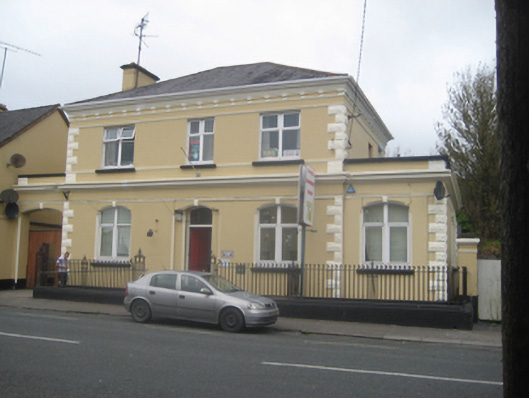 The Old Bankbank/financial institution · 993 yd
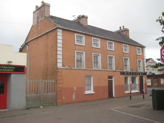 M. Keavenyhouse · 1084 yd
 Priest WellHoly well · 1.1 mi
 Bawn in Kiltullagh (tiaquin By.)Bawn · 2.0 mi
 St. Bridgids WellHoly well · 2.0 mi
 CastleCastle, unclassified · 2.7 mi
 Rook HillMountain / peak · 3.9 mi
 Site of Killomaine Grave YardArchaeological place · 5.3 mi
 Mount MaryMountain / peak · 6.8 mi
 Ballinlass Eviction MemorialMemorial · 8.1 mi
 Cloonavihony WoodForest · 8.5 mi
 Wych ElmWych Elm · 8.7 mi