
What is recorded here
On a S-facing slope in grassland. This well-preserved well is defined by a modern rectangular block-built wall (N-S 3.2m, E-W 2m) opening out to N. Access is gained via three steps.
The above description is derived from the published 'Archaeological Inventory of County Galway Vol. II - North Galway'. Compiled by Olive Alcock, Kathy de hÓra and Paul Gosling (Dublin: Stationery Office, 1999).
Date of upload: 05 August 2010
Linked to Saint Gobnait, the well is traditionally associated with cures for eye ailments and is visited on her feast day, 11 February. Pilgrims often leave coins or small offerings at the site, reflecting longstanding local devotion and healing traditions.
The monument record does not grant public access. Check the route and ask the landowner before entering private land.
- What survives
- Recorded monument
Places near here
 Quarry in BallinastackQuarry · 1.2 mi
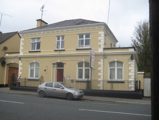 The Old Bankbank/financial institution · 1.4 mi
 Man-made underground passage in BallinastackMan-made underground passage · 1.6 mi
 St. Columbs WellHoly well · 1.7 mi
 CastleCastle, unclassified · 2.3 mi
 Rook HillMountain / peak · 3.0 mi
 Bawn in Kiltullagh (tiaquin By.)Bawn · 3.1 mi
 Site of Killomaine Grave YardArchaeological place · 4.2 mi
 Mount MaryMountain / peak · 6.5 mi
 HawthornHawthorn · 8.6 mi
 Ballinlass Eviction MemorialMemorial · 8.6 mi
 Sally IslandIslet · 8.9 mi
Other information
Photo: Credit not shown in the picture search · Rights wording not checked; contact us if this picture should be removed