What is recorded here
Indicated is a fairy fort in County Longford, Ireland. It occupies a gentle south-west-facing slope above wet pasture, enclosing a circular space thirty-four metres across. A substantial bank of earth and stone still stands, its inner face reinforced with boulders and drystone masonry. A three-metre break on the eastern side may have marked the entrance, while a shallow outer ditch recorded in 1976 has since disappeared under soil and time.
On a gentle SW-facing slope in wet, low-lying pasture. A slightly raised circular area (diam. c. 34m) enclosed by a substantial, although partially denuded, bank of earth and stone (Wth 2m; H 0.45-0.8m). Its internal face is revetted with boulders and drystone masonry. A report in 1976 (SMR file) recorded a shallow external fosse, which has since been infilled. A break (Wth 3m) in the bank at E may mark the original entrance.
Compiled by: Patrick F. O'Donovan
Date of upload: 26 August 2011
The monument record does not grant public access. Check the route and ask the landowner before entering private land.
- What survives
- Recorded monument
Places near here
 Mornin Castle (in Ruins)Castle, tower house · 617 yd
 fort HachuredFairy fort / earthen ringfort · 1283 yd
 Kilbally Holy WellHoly well · 1339 yd
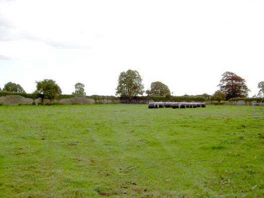 Park Placewalled garden · 1413 yd
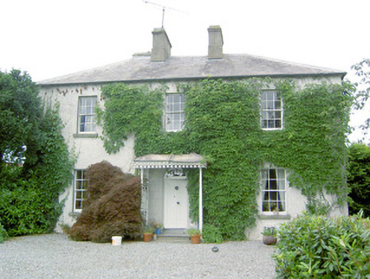 Torboy Househouse · 1752 yd
 DoonphilipCastle, motte · 1.5 mi
 National Famine WayWalking route · 2.4 mi
 Newcastle WoodsForest · 3.9 mi
 Corlea Bog Walk Canal BranchWalking route · 3.9 mi
 Target WoodWood · 4.1 mi
 Corlea Trackway Interpretative CentreHeritage attraction · 4.1 mi
 Graveyard in Curry (ardagh By., Coolamber Ed)Graveyard · 5.5 mi