What is recorded here
Located towards the top of a S and E-facing slope. This parish was part of the large parish of Skreen that Adam de Feipo, Baron of Skreen, endowed his brother Thomas with c. 1175 and which passed into the possession of the Cistercian abbey of St Mary’s in Dublin (DU018-020048-) when Thomas joined them c. 1186 (Hickey…
Read the whole record
From the National Monuments Service (Archaeological Survey of Ireland) record ME032-017
Places near here
Photo credits
- Maker not stated on source page, en.wikipedia.org
- Kieran Campbell, Geograph · CC BY-SA 2.0
- Maker not stated on source page, commons.wikimedia.org
- Willow, Wikimedia Commons · CC BY 2.5
- National Inventory of Architectural Heritage
- C O'Flanagan, Wikimedia Commons · CC BY-SA 2.0
- Maker not stated on source page, www.rte.ie
- Rob Hurson, Wikimedia Commons · CC BY-SA 4.0
- Malene Thyssen, Wikimedia Commons · CC BY-SA 3.0
 Enclosure in Monktown (skreen By.)Enclosure · 186 yd
Explorer Tom The big Monktown circle has one very grumpy cow as its least favourite visitor. The eighty-metre ring is mostly…
 CastleCastle, tower house · 458 yd
Explorer Tom Castle in Monktown is locked in an eternal feud with the rain, and honestly, it’s losing badly. You’ve got a Cistercian…
 Holy well in CusackstownHoly well · 919 yd
Explorer Tom Holy well in Cusackstown would tell teenagers the 1800s were basically a long, wet waiting room for nothing. No one…
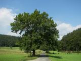 European ash1.0 mi
Explorer Tom European ash in County Meath makes map makers look like amateurs because nobody can seem to find the right path to it.…
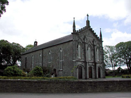 Catholic Church of the AssumptionChurch/chapel · 1.1 mi
Explorer Tom Catholic Church of the Assumption in Kentstown is deeply suspicious of the postman who always drops parcels on its…
 RuinChurch · 1.3 mi
Explorer Tom Ruin in Danestown would write 'looking for walls with commitment issues' on its dating profile. It stands next to a…
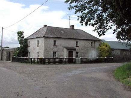 Rose CottageHouse · 1.3 mi
Explorer Tom Rose Cottage in Kentstown is modest in form but enhanced by original features like timber sash windows set in small…
 Fairy fort / earthen ringfort in DanestownFairy fort / earthen ringfort · 1.4 mi
Explorer Tom Fairy fort / earthen ringfort in Danestown might have been royal, but it looks like it’s run by a very stern dog. The…
 TombTomb, effigial · 1.4 mi
Explorer Tom Tomb in Kentstown features Sir Thomas de Tuite, looking very serious in his fourteenth-century armor. He’s been lying…
 St Marys ChurchChurch · 1.4 mi
Explorer Tom St Marys Church in Kentstown had a fox take charge of the congregation once. The church was unrepaired since 1641, so…
 Saint Mary's Church (Kentstown)Church/chapel · 1.4 mi
Explorer Tom Saint Mary's Church in Kentstown would be the life of any party, mostly because it’s very good at listening. That rose…
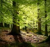 European Beech2.0 mi
Explorer Tom European Beech in County Meath has a fiddler who played there all night, leaving the leaves trembling with the memory…
More historic places in County Meath · All of County Meath

What do you know about this place?Tap to add a comment or ask a question