
What is recorded here
Situated at a break in a marked NW-facing slope. Bivallate circular ringfort (diam. 36m) defined by an earthen bank (Wth 3-3.5m; int. H 0.25-0.5m; ext. H 1.6-1.8m). From SW-ENE there is an external fosse (Wth 2-4m; D 0.5-1 m) and an outer bank (Wth 1.5-2.5m; H 0.4m). The external fosse is also evident from ESE-SSW. A field boundary abuts the site at the SE. The entrance (Wth 2.3m) is at the NNW. No indication of internal features.
The above description is derived from the published 'Archaeological Inventory of County Wicklow' (Dublin: Stationery Office, 1997). In certain instances the entries have been revised and updated in the light of recent research.
Date of upload/revision: 17 December 2008
The monument record does not grant public access. Check the route and ask the landowner before entering private land.
- What survives
- Recorded monument
Places near here
 Church (Site of), Grave YardChurch · 856 yd
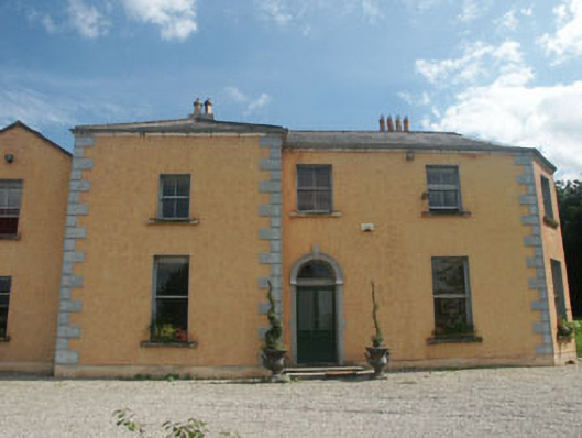 Clone Housefarm house · 1094 yd
 Enclosure in KillacloranEnclosure · 1.0 mi
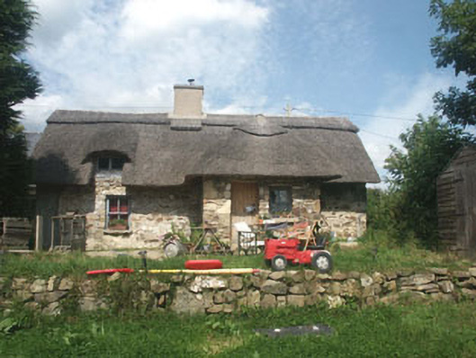 The Old Forgehouse · 1.7 mi
 CastleCastle, motte · 1.9 mi
 Croghan KinsellaMountain / peak · 2.3 mi
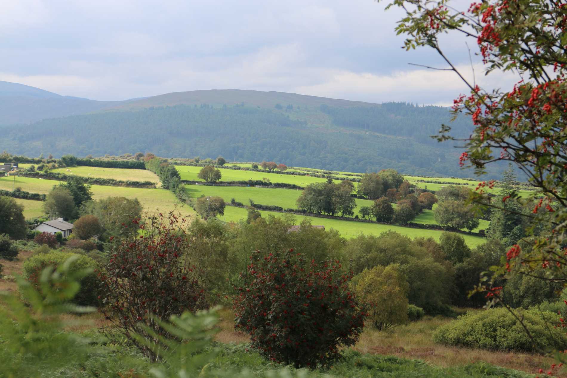 Roddenagh WoodForest · 2.3 mi
 Raheenleagh ForestForest · 2.3 mi
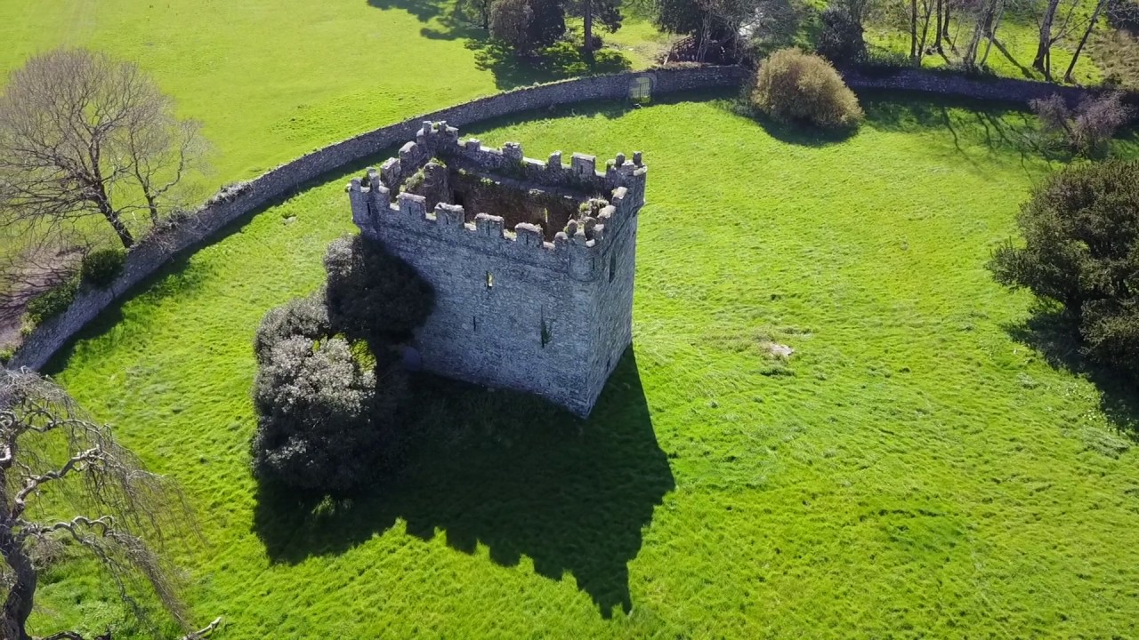 (Site of) Castle & RampartCastle, unclassified · 2.4 mi
 Woodenbridge World War One MemorialMemorial · 3.1 mi
 White Heaps 1798Memorial · 3.2 mi
 Monalee HillMountain / peak · 3.8 mi
Other information
Photo: Credit not shown in the picture search · Rights wording not checked; contact us if this picture should be removed