What is recorded here
Situated on a gentle N/NE-facing slope overlooking the steep side of a river valley. A sub-rectangular enclosure defined by a fosse, visible as a cropmark on aerial photograph (CUCAP, BDO 74). The enclosure is immediately SW of a circular enclosure (WI039-017001-) and may be an contemporary with it. The monument is possibly truncated by a road which runs NE-SW along the E side. Not visible at ground level. A ring-ditch (WI039-017005-) also visible as cropmark, is located to the SW.
The above description is derived from the published 'Archaeological Inventory of County Wicklow' (Dublin: Stationery Office, 1997). In certain instances the entries have been revised and updated in the light of recent research.
Compiled by: Jean Farrelly
Date of upload: 24 September 2012
The monument record does not grant public access. Check the route and ask the landowner before entering private land.
- What survives
- Recorded monument
Places near here
 Enclosure in KilpipeEnclosure · 252 yd
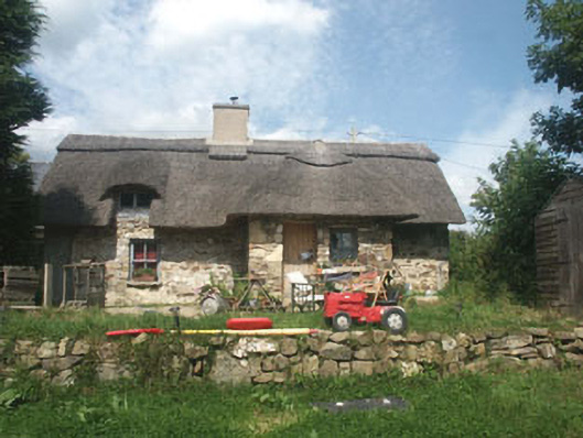 The Old Forgehouse · 354 yd
 CastleCastle, motte · 431 yd
 IndicatedFairy fort / earthen ringfort · 458 yd
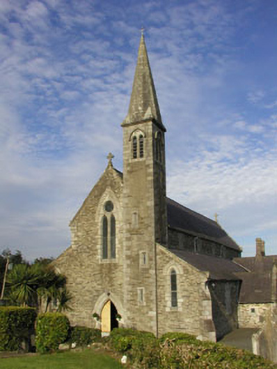 Saint Bridget's Catholic Churchchurch/chapel · 1413 yd
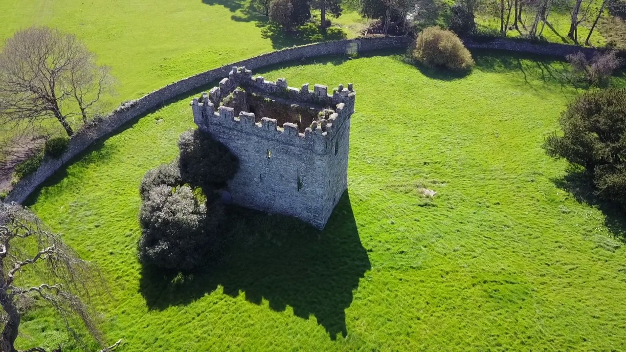 (Site of) Castle & RampartCastle, unclassified · 1521 yd
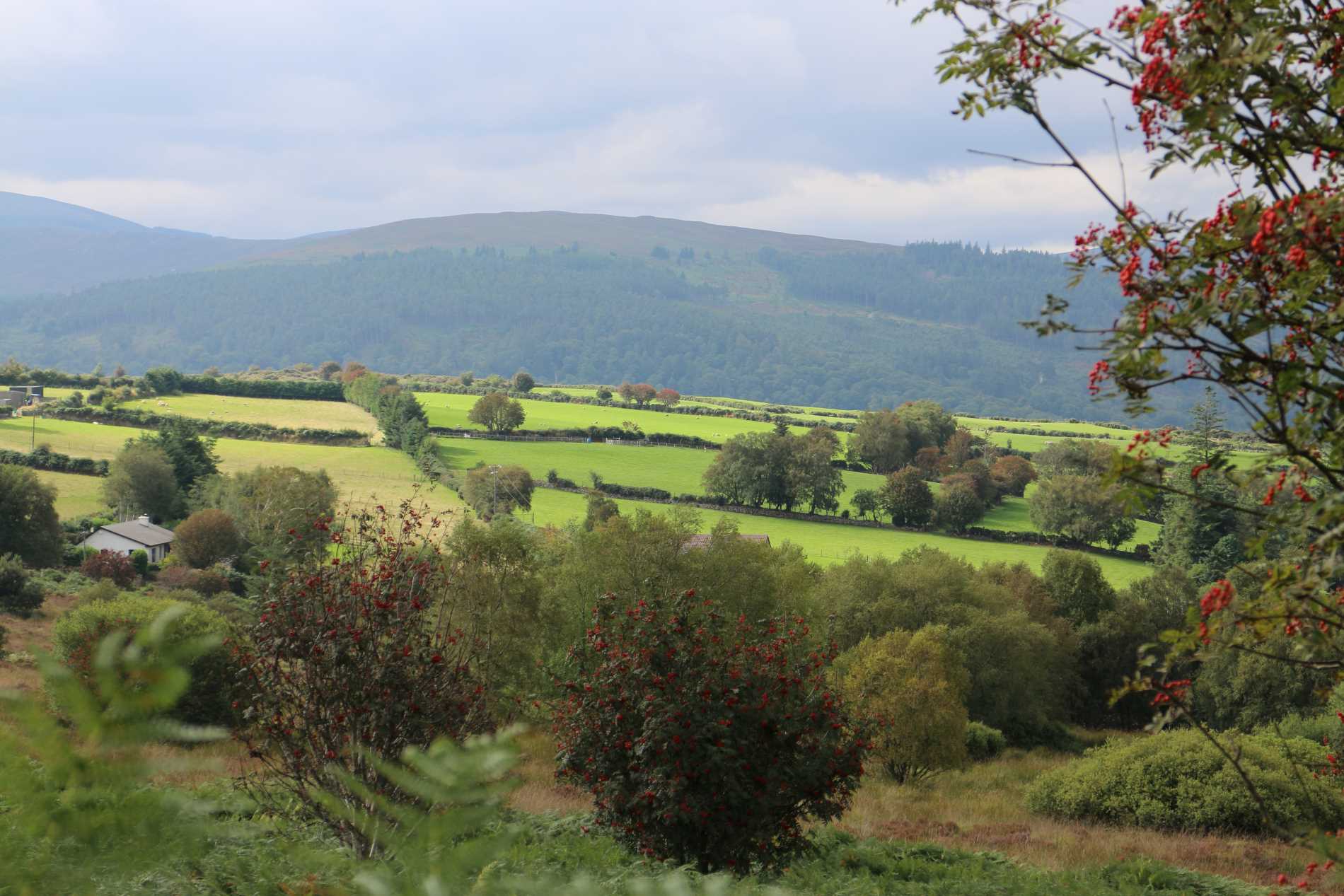 Roddenagh WoodForest · 1.0 mi
 Croghan KinsellaMountain / peak · 2.7 mi
 1798 Lacey Brothers MemorialMemorial · 3.0 mi
 Coolalug WoodWood · 3.1 mi
 Monalee HillMountain / peak · 4.0 mi
 Luke O'Toole MemorialMemorial · 4.1 mi