What is recorded here
Located towards the top of the S-facing slope of a drumlin overlooking the Inner Lough, which is to the S. This is a circular area (diam. 35m E-W; 34m N-S) planted with coniferous trees that slopes down to the SE. It is defined by an earthen bank (at ENE: Wth of base 3.5m; Wth of top 1.2m; int. H 0.55m; ext. H 1.35m)…
Read the whole record
From the National Monuments Service (Archaeological Survey of Ireland) record MO023-001
Places near here
Photo credits
- National Inventory of Architectural Heritage
- Anthony Foster, Geograph · Creative Commons Attribution-ShareAlike 2.0
- This file is from the Mechanical Curator collection , a set of over 1 million images scanned from out-of-copyright books and released to Flickr Commons by the British Library. View image on Flickr View all images from book View catalogue entry for book ., Wikimedia Commons · Public domain
- D Gore, Geograph · CC BY-SA 2.0
- Pamela Norrington, Wikimedia Commons · CC BY-SA 2.0
- Kieran Campbell, Geograph · Creative Commons Attribution-ShareAlike 2.0
- Alvesgaspar, Wikimedia Commons · CC BY-SA 3.0
- Oliver Dixon, Geograph · CC BY-SA 2.0
 Holy Trinity Catholic ChurchChurch/chapel · 447 yd
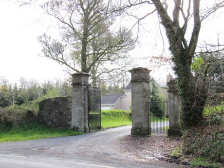 Dartrey HouseGates/railings/walls · 737 yd
 Dawson MonumentMonument · 947 yd
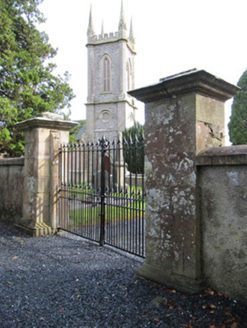 Church of Saint John the Evangelist (Ematris)Gates/railings/walls · 1020 yd
 LisnaspeenanMountain / peak · 1333 yd
 Dartrey ForestForest · 1684 yd
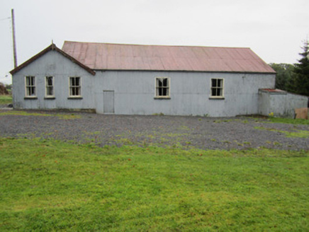 community centre1.1 mi
 Flagpole HillMountain / peak · 1.3 mi
 Cabragh RingfortArchaeological place · 4.4 mi
Explorer Tom Cabragh Ringfort is recorded as an archaeological place in County Cavan, likely a circular dwelling spot surrounded by banks that protected its ancient residents.
 Grave YardGraveyard · 6.0 mi
 Common Lime6.6 mi
 Bush IslandIslet · 9.7 mi
Explorer Tom Bush Island might actually be a hidden crannog in Lough Sillan, waiting for us to discover its secret, mossy, ancient history today.
More archaeology and monuments in County Monaghan · All of County Monaghan
What do you know about this place?Tap to add a comment or ask a question