What is recorded here
Situated in low-lying, wet pasture, with good views of the surrounding landscape. A stream flows close to N and E. In the centre of ringfort (WM031-074001-) are two roughly rectangular-shaped house sites or one house with two rooms. This building may be the structure depicted on the 1837 ed. OS 6-inch map. A low bank running N-S projects from the bank of the ringfort at S to the SE corner of the central house site.
Compiled by Alison McQueen, Vera Rahilly and Caimin O’Brien.
Date of upload: 22 November 2019
The monument record does not grant public access. Check the route and ask the landowner before entering private land.
- What survives
- Recorded monument
Places near here
 Partially hachuredFairy fort / earthen ringfort · 182 yd
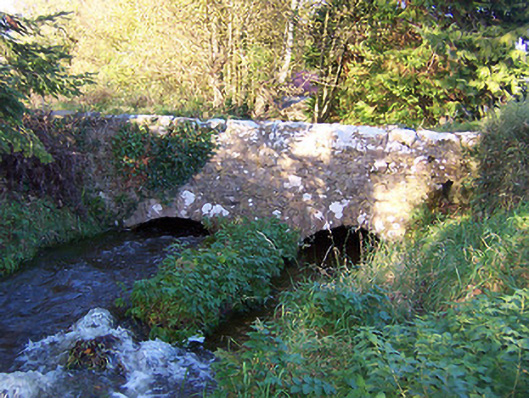 bridgebridge · 202 yd
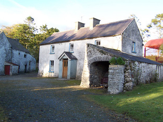 farm housefarm house · 231 yd
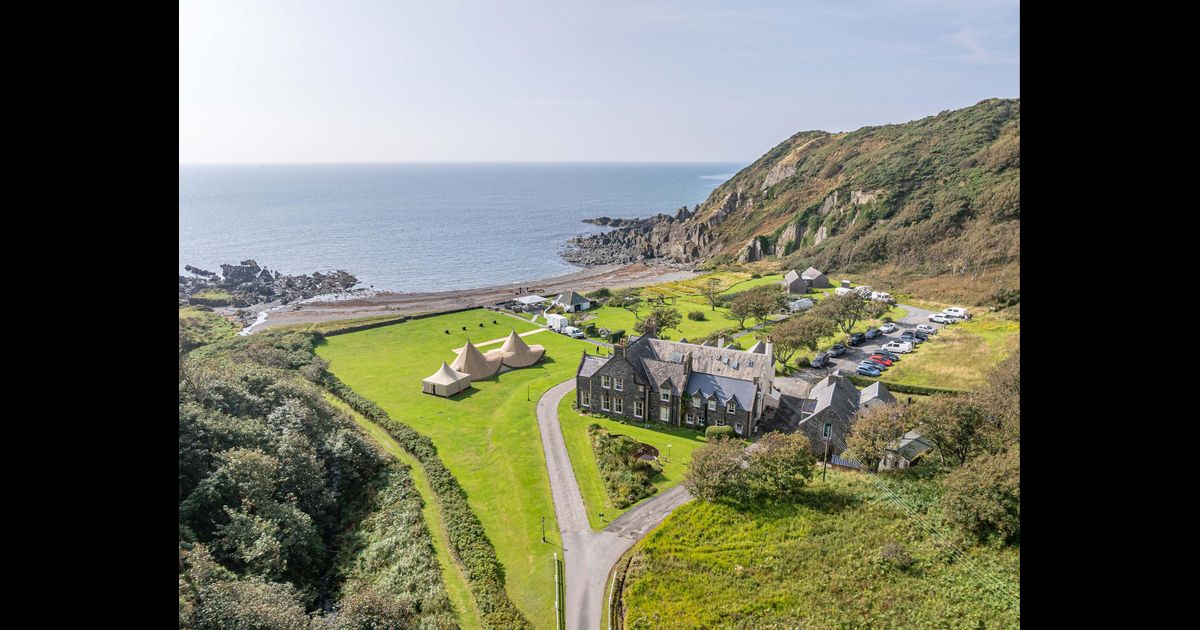 Hachured, RathbaneFairy fort / earthen ringfort · 680 yd
 CastleCastle, motte · 1149 yd
 Killalea FortCastle, motte · 1485 yd
 Kilmalady HillMountain / peak · 3.9 mi
 Japanese pagoda treeJapanese pagoda tree · 4.3 mi
 Bonfire HillMountain / peak · 5.9 mi
 Ardan WoodWood · 6.2 mi
 ToberaskeenSpring · 6.3 mi
 Charles BianconiMemorial · 7.6 mi