
What is recorded here
On a slight rise in a gently undulating landscape. Circular grass-covered area (diam. 33m N-S) defined by an earthen bank (Wth 5m; int. H 0.5-0.8m; ext. H 1.6m) which is reduced to a scarp (H1.1m) NE-SSE, separated by a fosse (Wth of top 6-6.5m; Wth of base 2.5-4.7m; D 0.55-0.7m) from an outer bank (Wth 3.7m; ext. H 0.4m) which only survives ESE-SSW. There is no identifiable original entrance.
See the attached aerial image taken from the NW.
Compiled by: Michael Moore
Date of upload: 24 August 2010
This monument is subject to a preservation order made under the National Monuments Acts 1930 to 2014 (PO no. 2/1957).
A local fairy fort (ringfort/rath); wider significance not recorded.
The monument record does not grant public access. Check the route and ask the landowner before entering private land.
- What survives
- Recorded monument
Places near here
 Embanked enclosureFairy fort / earthen ringfort · 743 yd
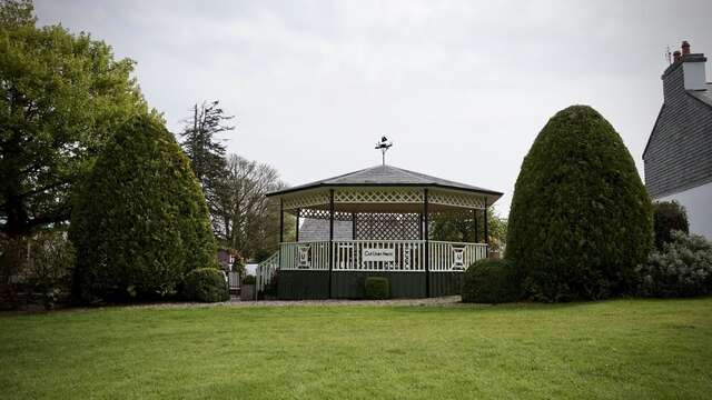 Enclosure in Cartron (frenchpark By.)Enclosure · 1412 yd
 Castle (Site of)Castle, unclassified · 1716 yd
 Canbo CastleHouse, 16th/17th century · 1.3 mi
 AbbeyChurch · 2.0 mi
 Coolnahinch WoodWood · 3.1 mi
 Church WoodWood · 3.2 mi
 War of Independence Commemorative Military MemorialMemorial · 3.8 mi
 Moylung Castle (in ruins)Castle, unclassified · 4.3 mi
 Moon RiverHeritage attraction · 5.1 mi
 Patrick Gill Memorial Plaque (IRA)Monument · 7.3 mi
 Strokestown House GardensHeritage attraction · 8.4 mi
Other information
Photo: Credit not shown in the picture search · Rights wording not checked; contact us if this picture should be removed