What is recorded here
From the National Monuments Service (Archaeological Survey of Ireland) record GA099-153
Places near here
Photo credits
- Kmcnamee, Wikimedia Commons · CC BY-SA 4.0
- Maker not stated on source page, www.pinterest.com
- Maker not stated on source page, commons.wikimedia.org
- National Inventory of Architectural Heritage
- Maker not stated on source page, www.dreamstime.com
- Maker not stated on source page, www.tripadvisor.com.sg
- Maker not stated on source page, www.flickr.com
- Sitomon, Wikimedia Commons · CC BY-SA 2.0
- Malene Thyssen, Wikimedia Commons · CC BY-SA 3.0
 Kiltormer GAAGAA ground · 736 yd
 Fairy fort / earthen ringfort in GortnaraheenFairy fort / earthen ringfort · 879 yd
Explorer Tom Fairy fort in Gortnaraheen has trees growing on its inner bank like it’s trying to start a garden. It’d post a photo of…
 Church in NewtowneyreChurch · 884 yd
Explorer Tom Church in Newtowneyre would write a strongly worded letter to the council about the lack of parking. It’s sitting there…
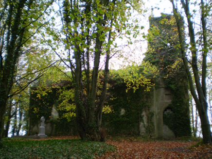 Saint Thomas's Church (Kiltormer)Church/chapel · 886 yd
Explorer Tom Saint Thomas's Church in Kiltormer is in ruins, so basically it’s just a vibe now with no actual walls. The sheep…
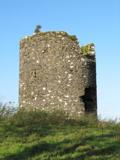 EyrevilleMill (wind) · 961 yd
Explorer Tom Eyreville windmill caused a whole parish argument over whose turn it was to fix the sails last year. It’s roofless now…
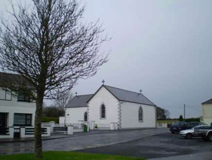 Saint Patrick's Catholic ChurchChurch/chapel · 1050 yd
Explorer Tom Saint Patrick's Catholic Church in Kiltormer West is off-centre because it got lost on its way to being straight. It…
 Catholic ChurchChurch · 1052 yd
Explorer Tom Catholic Church at Kiltormer West would teach history by pointing at stones and saying 'that was cool back then'. It’s…
 Kiltormer GraveyardGraveyard · 1293 yd
Explorer Tom Kiltormer Graveyard has had so many names over the years that it’s given up trying to remember which one is real. It…
 CastleCastle, unclassified · 1620 yd
Explorer Tom Castle in Cloonlahan (geoghegan) is doing the 'I'm pretending to be a hill' bit when nobody's watching. It’s basically…
 Fairy fort / earthen ringfort in Kiltormer EastFairy fort / earthen ringfort · 1.3 mi
Explorer Tom Fairy fort / earthen ringfort in Kiltormer East is on a ridge, which means it sees everything. A fiddler played there…
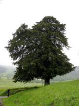 European Yew1.9 mi
Explorer Tom European Yew in County Galway is currently in the middle of a fierce dispute with a fairy over parking rights near its…
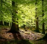 European Beech2.1 mi
Explorer Tom European Beech in County Galway thinks its favourite song is 'I Will Survive' because it has outlasted every fashion…
More historic places in County Galway · All of County Galway

What do you know about this place?Tap to add a comment or ask a question