What is recorded here
On level ground in gently undulating terrain. House described in the Civil Survey (1654-6) as a 'house coverred with thatch being the sd Piers Butlers Mansion house', Piers Butler 'of Mynerstowne gent Irish Papist', is listed as being the proprietor in 1640 (Simington 1931, vol. 1, 278). This may have been the house in the centre of Minorstown depicted on the 1st (1843) and current (1901-05) eds. of the OS 6-inch map. The house had been levelled by 1977 when an aerial photograph (GSI S.790/1) shows the house is gone. A farmyard with two large barns and a shed now occupies the site and a roadway has been built to connect this farmyard with a new house to the S.
Compiled by: Jean Farrelly
Date of upload: 26 August 2011
The monument record does not grant public access. Check the route and ask the landowner before entering private land.
- What survives
- Recorded monument
Places near here
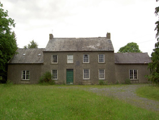 Mauganstown Housecountry house · 1107 yd
 Enclosure in BallynarahaEnclosure · 1263 yd
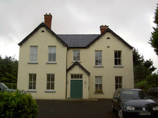 Clashaniska Househouse · 1656 yd
 IndicatedHoly well · 1679 yd
 Glen Castle (in ruins)Castle, tower house · 1.2 mi
 Castle (in ruins)Castle, tower house · 1.4 mi
 Pedunculate OakPedunculate Oak · 1.8 mi
 Maurice DavinMemorial · 1.8 mi
 Garden of RenewalNature reserve · 2.0 mi
 CarrigcoumMountain / peak · 2.3 mi
 Carrigaloe RockNamed rock · 2.4 mi
 Thomas KielyMemorial · 2.9 mi