What is recorded here
On flat poorly drained land, in a coniferous plantation which had good views in all directions, in an upland region. Depicted as a rectangular earthwork orientated E-W on the 1st. ed. OS 6-inch map and as an oval earthwork (overall map dims. 50m NE-SW; 38m NW-SE) orientated NE-SW on the 2nd (1905) ed. map. The monument is not visible at ground level.
Compiled by: Jean Farrelly
Date of upload: 26 August 2011
The monument record does not grant public access. Check the route and ask the landowner before entering private land.
- What survives
- Recorded monument
Places near here
 Enclosure in Coole (buolick Par.)Enclosure · 798 yd
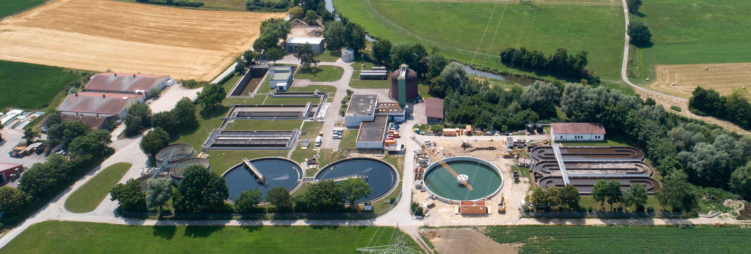 Field system in Coole (buolick Par.)Field system · 911 yd
 IndicatedCastle, motte · 1092 yd
 Mellisson CastleCastle, tower house · 1291 yd
 Littlefield Housecountry house · 1427 yd
 Buolick Church (in ruins)Church · 1.2 mi
 Bregaun HillMountain / peak · 1.8 mi
 Kilcooly AbbeyHeritage attraction · 2.9 mi
 Rapefield WoodForest · 3.0 mi
 Waterloo HillMountain / peak · 3.0 mi
 KilcooleyForest · 3.3 mi
 Derrynaflan TrailHeritage attraction · 3.9 mi