
Places near here
Photo credits
- National Inventory of Architectural Heritage
- David Purchase, Geograph · Creative Commons Attribution-ShareAlike 2.0
- Paul Cowan, Wikimedia Commons · CC BY-SA 2.0
- Mike Searle, Geograph · CC BY-SA 2.0
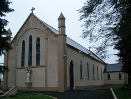 Saint Anne's Catholic ChurchChurch/chapel · 1269 yd
Explorer Tom Saint Anne's Catholic Church in Shanvaghera had an escape plan involving a hidden tunnel that led straight into the pub next door. The pinnacles are definitely guarding those secrets. Best enjoyed with a bagel on your lap.
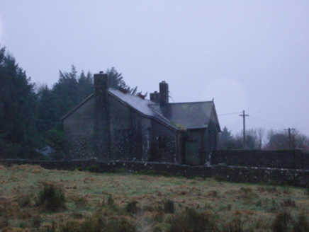 Shanvaghera National SchoolSchool · 1371 yd
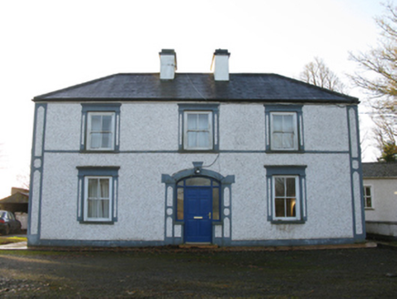 farm house1745 yd
Explorer Tom The Farm house in Mountaincommon is trying way too hard with those fancy door details, like it’s a model home. It’d introduce itself as ‘the most elegant rectilinear plan in town.’ Tell your mate to wave from the road.
LisnaheemoyleFairy fort / earthen ringfort · 1.2 miExplorer Tom Lisnaheemoyle was saved by a hero nobody remembers, probably because he fell asleep on the job. It sits in the blackthorn looking like it’s waiting for a rescue that never comes. Visit, then text me what you think. I'll pretend to read it.
 Grave YardGraveyard · 2.2 mi
Explorer Tom Graveyard in Aghamore would post a photo of its mossy headstones with the caption 'Living my best quiet life, #ancient'. It’s got that moody, atmospheric vibe going on that makes you feel instantly profound. Have a wander and a wonder.
East Mayo Brigade MonumentMemorial · 2.5 mi Knock ShrineHeritage attraction · 3.0 mi
Explorer Tom I'll keep my big mouth quiet for the people praying at Knock. Knock Shrine grew from an evening that the people present never forgot. On 21 August 1879, Mary Byrne and other villagers said they saw figures at the church gable while the Mayo rain came down. Their accounts describe a still scene that lasted nearly two hours, with people gathering and praying; the witnesses also said the ground around the figures stayed dry. I am not going to tell you what they saw. Mayo rain rarely asks my permission, but the witnesses' account asks for careful listening. What I can tell you is that their words were taken down by a church inquiry that autumn, and a second inquiry in 1936 returned to surviving witnesses because many early papers were thought lost. The original wall attracted so many visitors that pieces were taken away as souvenirs. Today this is a living place of pilgrimage, so enter with care for the people who have come to pray. Whatever you believe, listen to how a wet evening changed a village's place in the world.
Knock MuseumMuseum · 3.1 mi CastleCastle, unclassified · 4.0 mi
Explorer Tom Castle on Island Lake hates when people ask if it’s haunted; it prefers ‘mysteriously absent’. It vanished so fast the locals just shrugged and built a house instead. Bring a flask of something warm and a story to swap.
 IndicatedHouse, fortified house · 4.1 mi
Explorer Tom House in Island is currently being judged by rabbits who think its gunloops are just fancy holes for them to hide in. They’re not wrong, actually. Get there early and have it all to yourself.
I'll Send You The FareMemorial · 5.2 miThorn CaveCave · 6.3 miMore archaeology and monuments in County Mayo · All of County Mayo

What do you know about this place?Tap to add a comment or ask a question