What is recorded here
Depicted as hachured quadrilateral enclosure (c. 50m WNW-ESE; c. 40m NNE-SSW) on 1842 OS 6-inch map, with NW side defined by laneway shown as double broken line; indicated as subrectangular enclosure on 1905 and 1936 OS 6-inch maps. In tillage. According to local information, levelled c. 1979 during field boundary clearance. Field boundary respecting or incorporating SW side survives, this is heavily overgrown and curves slightly.
The above description is derived from the published 'Archaeological Inventory of County Cork. Volume 4: North Cork' (Dublin: Stationery Office, 2000). In certain instances the entries have been revised and updated in the light of recent research.
Date of upload/revision: 14 January 2009
The monument record does not grant public access. Check the route and ask the landowner before entering private land.
- What survives
- Recorded monument
Places near here
 Mass-rock in FarahyMass-rock · 623 yd
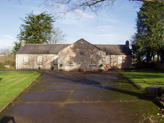 schoolschool · 759 yd
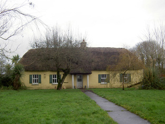 farm housefarm house · 862 yd
 Flat cemetery in Ballyenahan NorthFlat cemetery · 1687 yd
 Ballyenehan Castle (Site of)Castle, unclassified · 1.1 mi
 Grave YardGraveyard · 1.1 mi
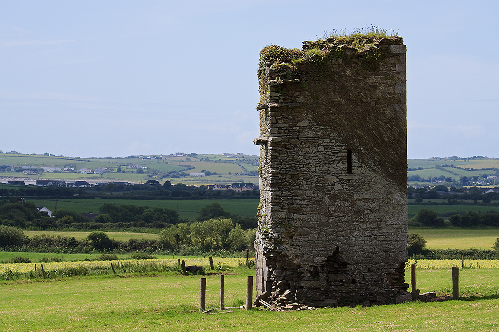 Farahy Castle (in Ruins)Castle, unclassified · 1.1 mi
 North Meadow WoodForest · 1.6 mi
 Horse Field WoodForest · 1.7 mi
 Anne's Grove GardensHeritage attraction · 3.3 mi
 CarrigeenamronetyMountain / peak · 4.0 mi
 Graveyard in BoherashGraveyard · 4.6 mi