Places near here
Photo credits
- National Inventory of Architectural Heritage
- Humphrey Bolton, Geograph · Creative Commons Attribution-ShareAlike 2.0
- Mike Searle, Wikimedia Commons · CC BY-SA 2.0
- Humphrey Bolton, Geograph · CC BY-SA 2.0
- Algirdas at Lithuanian Wikipedia, Wikimedia Commons · Public domain
- AGC Construction project photography; individual photographer not named, www.agcconstruction.ie
- MPF, Wikimedia Commons · CC BY 2.5
- Colin Park, Geograph · CC BY-SA 2.0
- Kmcnamee, Wikimedia Commons · CC BY-SA 4.0
- kevin higgins, Geograph · CC BY-SA 2.0
- A.-K. D., Wikimedia Commons · CC BY-SA 4.0
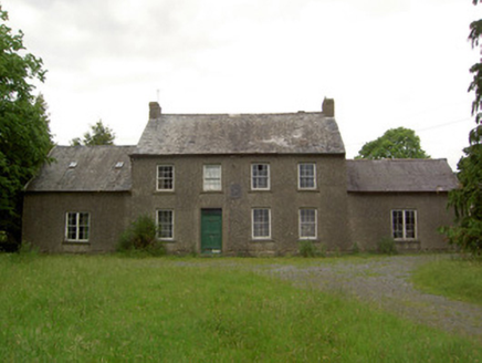 Mauganstown HouseCountry house · 1 yd
Explorer Tom Mauganstown House would explain the 1800s to a teenager by saying, 'It was all very confusing and everyone wore weird…
 Dysart HouseOfficially recorded historic building · 1.1 mi
Explorer Tom Dysart House in Churchtown is strutting around with its fancy doorcase like it’s the only priestly residence on the…
 Grave YardGraveyard · 1.7 mi
Explorer Tom Graveyard in Kilcash is on a slope with a tower house watching over it like a nosy neighbor. It’s rectangular and…
 Kilcash CastleCastle · 1.7 mi
Explorer Tom Kilcash Castle started with a tower built for defence and later acquired a hall with larger windows, the architectural…
 Kilcash Castle (in ruins)Castle, tower house · 1.7 mi
Explorer Tom Kilcash Castle has a ghost that’s too lazy to haunt it properly, so he just sits in the corner reading newspapers and…
 Pedunculate Oak2.1 mi
Explorer Tom Pedunculate Oak in County Waterford was skipped by the bishop because he couldn’t find his reading glasses and didn’t…
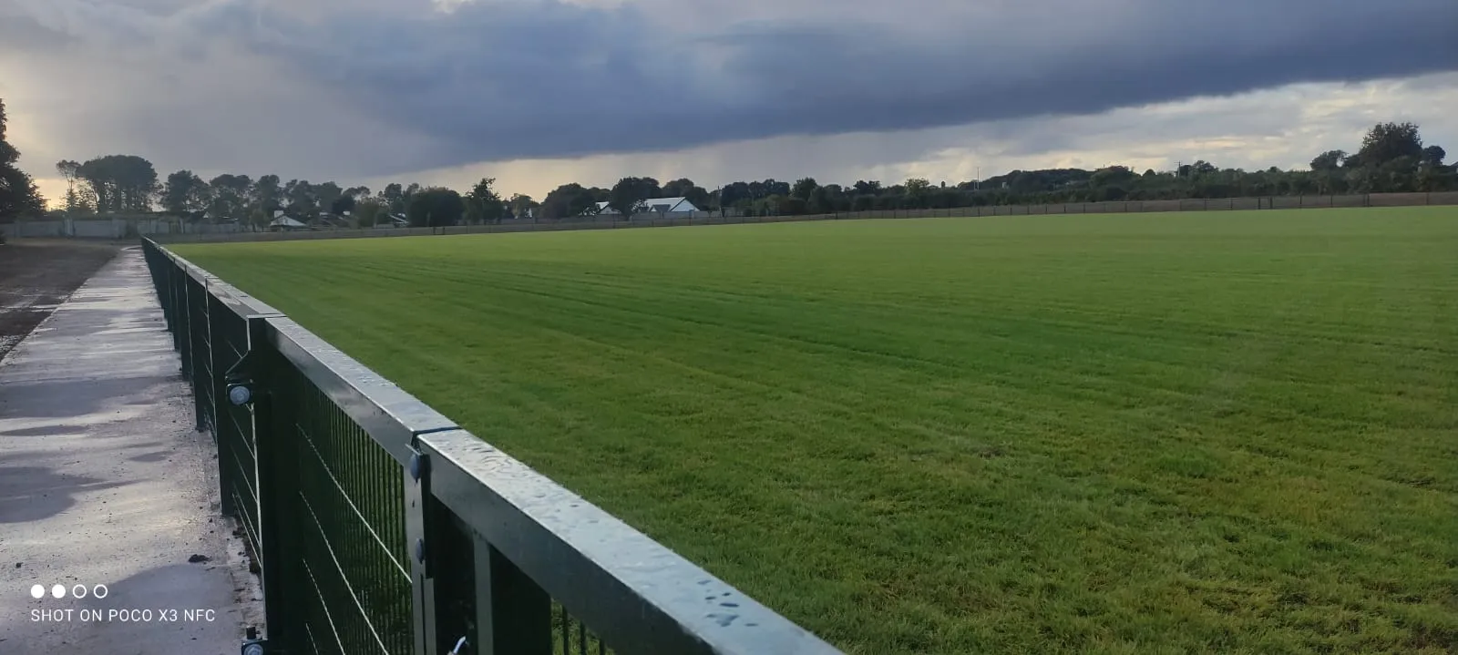 Kilsheelan-KilcashGAA ground · 2.6 mi
 Wild Cherry2.7 mi
Explorer Tom Wild Cherry in County Tipperary has one bird that refuses to leave, even when it’s snowing or the owner is mowing right…
 SlievenamonMountain / peak · 4.1 mi
Explorer Tom Slievenamon stands over south Tipperary like a mountain that knows it has been sung about. Its rounded summit carries…
 St. Mollerans GAA pitchGAA ground · 4.5 mi
 SheegounaMountain / peak · 4.5 mi
Explorer Tom Sheegouna’s only New Year's resolution is to stop rolling its 'r' sounds so aggressively at passing sheep, which has…
 Standing stone in BallinvirStanding stone · 4.8 mi
Explorer Tom Standing stone in Ballinvir is tall, tapering to a point, and was once worked on by a matchmaker who knew exactly which…
More historic places in County Tipperary · All of County Tipperary

What do you know about this place?Tap to add a comment or ask a question