What is recorded here
In low lying area of wet field which is permanently flooded due to natural springs. Access not gained as monument is completely surrounded by water. According to Dalton (1983, pers. comm.), the area is circular (dims. c. 33m) with a stone-faced bank (H c. 0.5m). Series of drains (long axis c. N-S) shown on latest edition OS 6-inch map to S are also under water. Area has become a wildlife habitat. Indicated on latest edition OS 6-inch map as oval area (dims. 42m WNW-ESE; 25m NNE-SSW) enclosed by drain. Enclosure (TS069-047----) located c. 490m to SSW and ringfort (TS069-048----) located c. 520m to ENE.
Compiled by: Jean Farrelly
Date of upload: 26 August 2011
The monument record does not grant public access. Check the route and ask the landowner before entering private land.
- What survives
- Recorded monument
Places near here
 Enclosure in Loughkent WestEnclosure · 538 yd
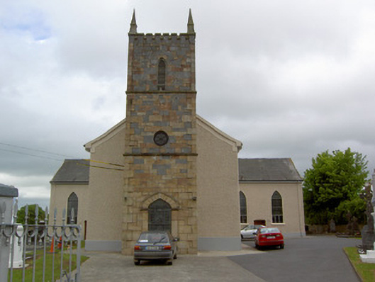 Catholic Church of Our Lady Queenchurch/chapel · 826 yd
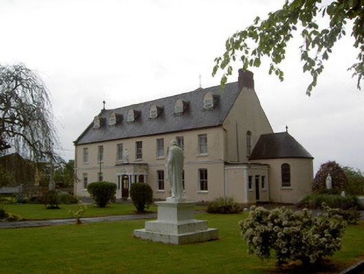 Convent of Mercyconvent/nunnery · 888 yd
 Bawn in Carrigeen (knockgraffon Par.)Bawn · 1553 yd
 Enclosure in KnockgraffonEnclosure · 1.1 mi
 Bawn in GarranleaBawn · 1.6 mi
 Athassel PrioryHeritage attraction · 4.6 mi
 Caher AbbeyHeritage attraction · 5.1 mi
 Caucasian zelkovaCaucasian zelkova · 5.1 mi
 Siege of Cahir Castlesiege · 5.3 mi
 Cappa WoodWood · 5.8 mi
 Slieveanard NE TopMountain / peak · 6.1 mi