
What is recorded here
From the National Monuments Service (Archaeological Survey of Ireland) record WX017-002
Places near here
Photo credits
- National Inventory of Architectural Heritage
- Kmcnamee, Wikimedia Commons · CC BY-SA 4.0
- Maker not stated on source page, www.tripadvisor.ca
- Maker not stated on source page, tr.pinterest.com
- Andreas F. Borchert, Wikimedia Commons · CC BY-SA 4.0
- Maker not stated on source page, www.pinterest.com
- Maker not stated on source page, www.theirishroadtrip.com
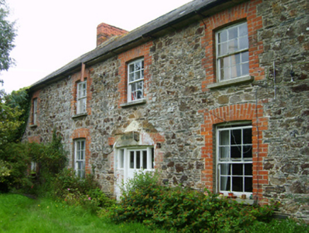 farm house1.2 mi
Explorer Tom Farm house in Glen is hiding a message in its stones that only becomes visible if you squint hard enough and drink…
 Realt na Mara GAA, BallygarrettGAA ground · 1.2 mi
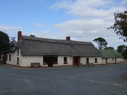 O'Brien'sFarm house · 1.3 mi
Explorer Tom O'Brien's in Killenagh witnessed a love story that went badly wrong right next to it, involving a lot of shouting and…
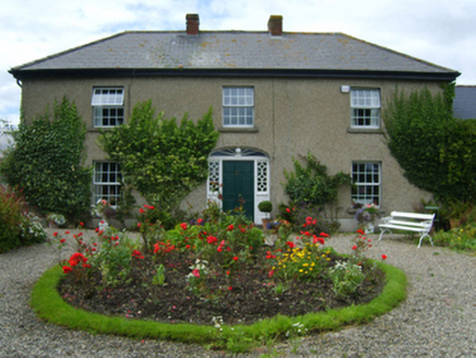 Glen HouseFarm house · 1.3 mi
Explorer Tom Glen House is playing hard to get in County Wexford. Solomon Richards built it back in the eighties, all fancy Georgian…
 Glendoyne CottageHouse · 1.4 mi
Explorer Tom Glendoyne Cottage was once offered for sale by a cow who had been hoarding cash under her tongue. The transaction…
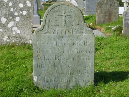 graveyard/cemetery1.6 mi
Explorer Tom Graveyard or cemetery in Donaghmore saw its most dramatic event when a crow stole a headstone’s name tag and wore it as…
 Roney Point BeachBeach / strand · 1.6 mi
Explorer Tom Roney Point Beach confuses the map makers because it likes to shift its sand dunes around like a lazy cat rolling over.…
 Donaghmore CemeteryCemetery · 1.6 mi
Explorer Tom Donaghmore Cemetery is where some poor poet slipped in a ditch and got so annoyed he wrote a sonnet about the mud…
 Glascarrig AbbeyArchaeological place · 2.1 mi
Explorer Tom Glascarrig Abbey in County Wexford is basically a cowshed with ambition, hiding its monastic past behind a very…
 Tubberneering CemeteryCemetery · 4.5 mi
Explorer Tom Tubberneering Cemetery in County Wexford is famous for a shortcut that actually takes twice as long to walk because it…
 Fairy fort / earthen ringfort in Mounthoward LowerFairy fort / earthen ringfort · 4.8 mi
Explorer Tom Fairy fort / earthen ringfort in Mounthoward Lower has very strong opinions on modern buildings, specifically that they…
 CastleCastle, unclassified · 4.9 mi
Explorer Tom Castle in Clogh would probably throw a brick at any nosey neighbour who peeks over the wall for too long. It’s got…
More archaeology and monuments in County Wexford · All of County Wexford

What do you know about this place?Tap to add a comment or ask a question