What is recorded here
Situated on a rise in a low-lying landscape with a W-E section of the River Dee c. 250m to the S. The church of Inismocht (ME007-001----) is within a rectangular enclosure (dims 33m NE-SW; 21m NW-SE) defined by traces of wall foundations and scarps. There are no headstones visible, but bones are said locally to have been found in the vicinity. (Tempest 1944)
Compiled by: Michael Moore
Date of upload: 20 May, 2014
The monument record does not grant public access. Check the route and ask the landowner before entering private land.
- What survives
- Recorded monument
Places near here
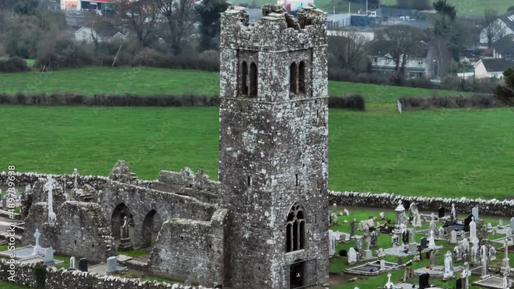 Church (in ruins)Church · 9 yd
 Enclosure in BallygowanEnclosure · 1013 yd
 Yellow HillMountain / peak · 1640 yd
 ToberdoneyHoly well · 1.1 mi
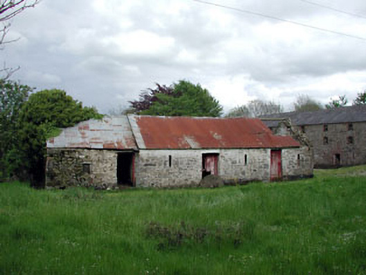 outbuildingoutbuilding · 1.4 mi
 Screedoge HillMountain / peak · 1.6 mi
 CastleCastle, unclassified · 2.0 mi
 European White ElmEuropean White Elm · 2.1 mi
 Site of Mullanstown CastleCastle, unclassified · 2.1 mi
 Sir Frederick Foster MemorialMemorial · 2.3 mi
 Lebanon CedarLebanon Cedar · 2.6 mi
 Graveyard in StickillinGraveyard · 3.9 mi