
What is recorded here
The following description is derived from both the published 'Archaeological Inventory of County Louth' (Dublin: Stationery Office, 1986) and the 'Archaeological Survey of County Louth' (Dublin: Stationery Office, 1991). In certain instances the entries have been revised and updated in the light of recent research.
Date of revision: 23 December 2010
Situated on small, natural ridge, just N of River Dee. Rectangular area (max. dims. 52m WSW-ENE, 32m NNW-SSE) with rounded corners enclosed from S-W-N-E by earthen bank (Wth 6m, H 0.3m), from E-S by steep scarp.
Aerial photograph (GB91.DC.17) shows cropmark of a large enclosure defined by two incomplete fosses. Traces of a third possible fosse are visible on the southern side of the enclosure. The cropmark enclosure surrounds the small rectilinear enclosure descibed above.
A local fairy fort (ringfort/rath); wider significance not recorded.
The monument record does not grant public access. Check the route and ask the landowner before entering private land.
- What survives
- Recorded monument
Places near here
 ToberdoneyHoly well · 957 yd
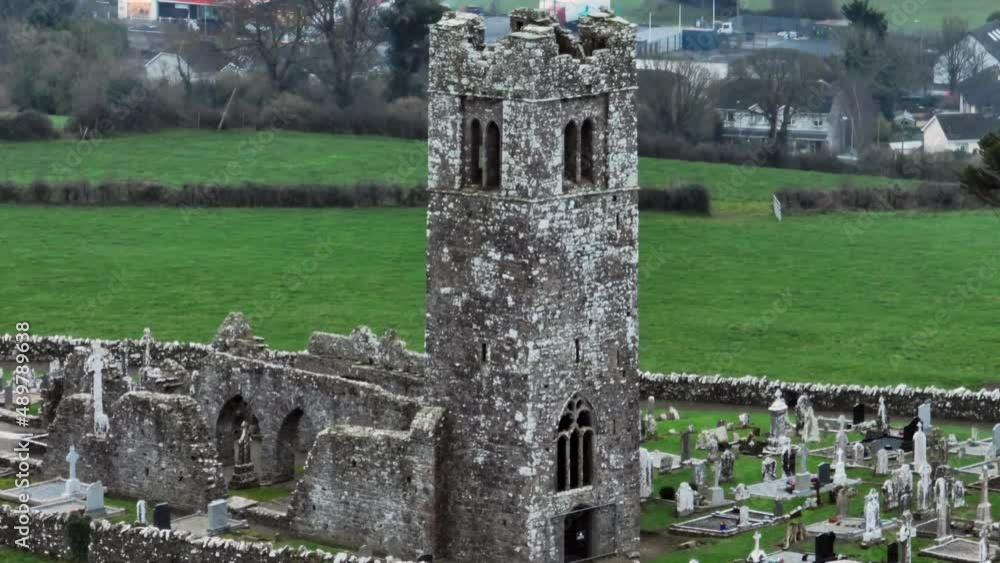 Church (in ruins)Church · 1021 yd
 Enclosure in ShanlisEnclosure · 1363 yd
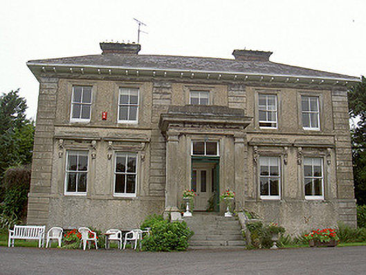 Shanlis Housecountry house · 1526 yd
 Screedoge HillMountain / peak · 1.1 mi
 Yellow HillMountain / peak · 1.4 mi
 European White ElmEuropean White Elm · 1.8 mi
 CastleCastle, tower house · 1.9 mi
 Sir Frederick Foster MemorialMemorial · 2.1 mi
 Site of Mullanstown CastleCastle, unclassified · 2.2 mi
 Valley WoodWood · 2.2 mi
 Graveyard in StickillinGraveyard · 3.6 mi
Other information
Photo: Credit not shown in the picture search · Rights wording not checked; contact us if this picture should be removed