What is recorded here
Indicated is a small, flat, tree-covered island in Loughnatooey North, County Donegal, perhaps built by human hands rather than born from rock. It sits forty metres offshore, shadowed by the sheer cliff of Croaghderg Hill, while pasture lands stretch beyond the water. The crannog may have been a hidden home, a watchpost or a place of ritual, but its true purpose has sunk back into the lake.
A flat, tree-covered, small island, low in the water of Loughnatooey North and c. 40m offshore may be artificially constructed. To the ESE rising from the lake is the sheer cliff of Croaghderg Hill otherwise the surrounding land is pasture.
The above description was derived from the 'Archaeological Survey of County Donegal. A description of the field antiquities of the County from the Mesolithic Period to the 17th century.' Compiled by: Brian Lacey with Eamon Cody, Claire Cotter, Judy Cuppage, Noel Dunne, Vincent Hurley, Celie O'Rahilly, Paul Walsh and Seán Ó Nualláin (Lifford: Donegal County Council, 1983). In certain instances the entries have been revised and updated.
Date of upload: 22 September 2008
The monument record does not grant public access. Check the route and ask the landowner before entering private land.
- What survives
- Recorded monument
Places near here
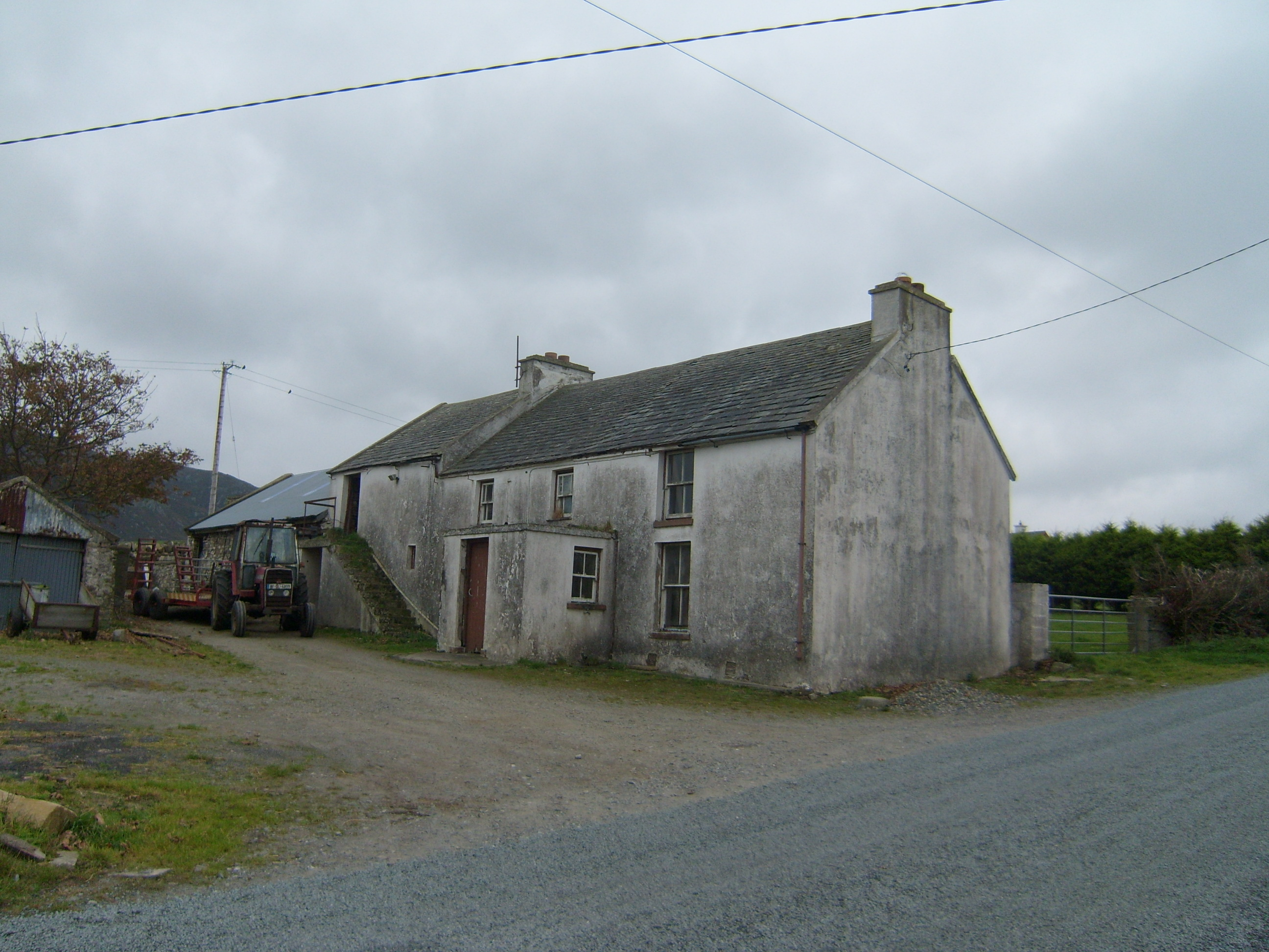 farm housefarm house · 750 yd
 Former Greenhill FortEnclosure · 933 yd
 Greenhill CashelFairy fort / stone ringfort · 1048 yd
 Boys IslandIslet · 1530 yd
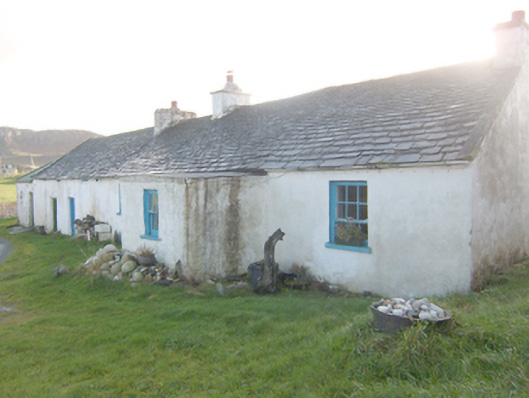 The Rockhouse · 1708 yd
 Local Wildlife presentationVisitor information · 1.4 mi
 Tramore StrandBeach / strand · 2.1 mi
 Kill Old Church GraveyardGraveyard · 2.2 mi
 Castle (Site of)Castle, unclassified · 2.5 mi
 Mc Swynes CastleCastle, unclassified · 2.8 mi
 Ards Forest ParkForest recreation place · 2.8 mi
 Mc Swyne's GunHeritage attraction · 2.8 mi