
What is recorded here
This site is described as a 'cashel' on the 1st edition of the OS 6-inch map. It now consists of a subcircular area measuring c. 36m N-S and c. 30m E-W bounded by a modern stone field wall. Presumably this follows the line of the cashel wall. Outside the field wall on the N is a grassed over bank, c. 1m wide, of loose stones which probably came from the cashel wall collapse. The interior of the enclosure is flat and grassed. It is sited in level pasture land.
The above description was derived from the 'Archaeological Survey of County Donegal. A description of the field antiquities of the County from the Mesolithic Period to the 17th century.' Compiled by: Brian Lacey with Eamon Cody, Claire Cotter, Judy Cuppage, Noel Dunne, Vincent Hurley, Celie O'Rahilly, Paul Walsh and Seán Ó Nualláin (Lifford: Donegal County Council, 1983). In certain instances the entries have been revised and updated.
Date of upload: 22 September 2008
The monument record does not grant public access. Check the route and ask the landowner before entering private land.
- What survives
- Recorded monument
Places near here
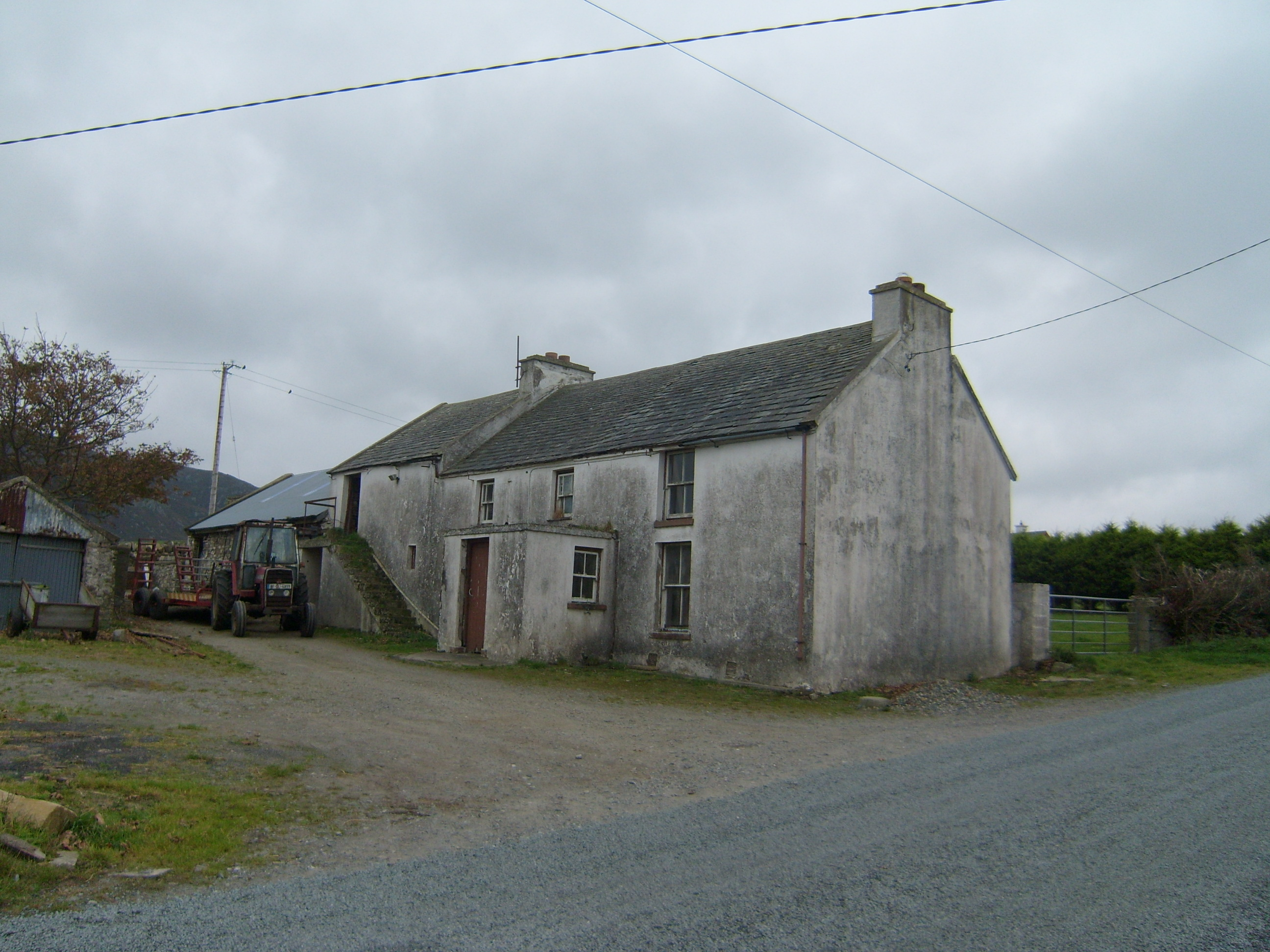 farm housefarm house · 355 yd
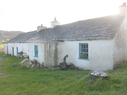 The Rockhouse · 713 yd
 Former Greenhill FortEnclosure · 721 yd
 Altar (Site of)Penal Mass station · 959 yd
 Boys IslandIslet · 1129 yd
 Local Wildlife presentationVisitor information · 1616 yd
 Tramore StrandBeach / strand · 1.7 mi
 Kill Old Church GraveyardGraveyard · 1.7 mi
 Castle (Site of)Castle, unclassified · 1.9 mi
 Mc Swyne's GunHeritage attraction · 2.3 mi
 Cliffs near Pollaguill BayPublicly named cliff or headland · 2.3 mi
 Lockheed Hudson bomber 1942Memorial · 2.4 mi
Other information
Photo: Credit not shown in the picture search · Rights wording not checked; contact us if this picture should be removed