
What is recorded here
Indicated is a fairy fort in County Cavan, Ireland, where a substantial earthen bank still encloses a raised oval area. The perimeter has been cut and modified, hiding the original entrance while field-clearance boulders remain at the northern foot. It is the kind of place where human boundaries and fairy boundaries stop meaning the same thing.
Marked 'Fort' on OS 1836 ed. and 'Site of' on 1876 ed. Raised oval area (int. dims. 63.2m WNW-ESE; 51.2m NNE-SSW) enclosed by a substantial earthen bank which has been recently modified and incorporated into the field boundary from N-NNE-E and from SSE-S-W. In addition, a wide cutting has been dug through the perimeter at SW. Original entrance not recognisable. Field-clearance boulders lie at the external foot of the bank at NW.
The above description is derived from the published 'Archaeological Inventory of County Cavan' (Dublin: Stationery Office, 1995). In certain instances the entries have been revised and updated in the light of recent research.
Date of upload/revision: 22 December 2008
The monument record does not grant public access. Check the route and ask the landowner before entering private land.
- What survives
- Recorded monument
Places near here
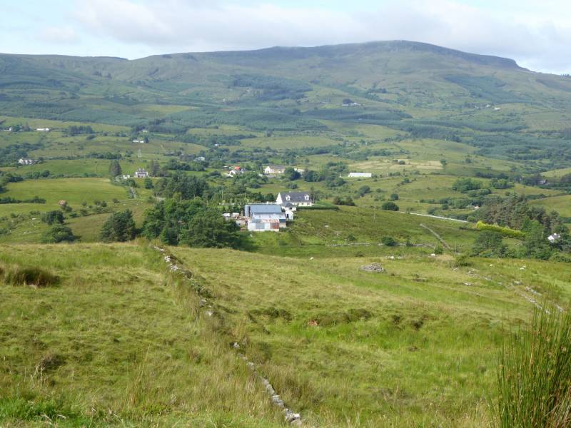 Tony FortArchaeological place · 878 yd
 Carrick RockWood · 997 yd
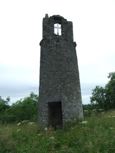 Maguire's Towerbell tower/stand · 1024 yd
 R. C. ChapelChurch · 1035 yd
 Moynagh Upper ForestForest · 1403 yd
 CastleCastle, motte · 1591 yd
 Sporting RockIslet · 1.0 mi
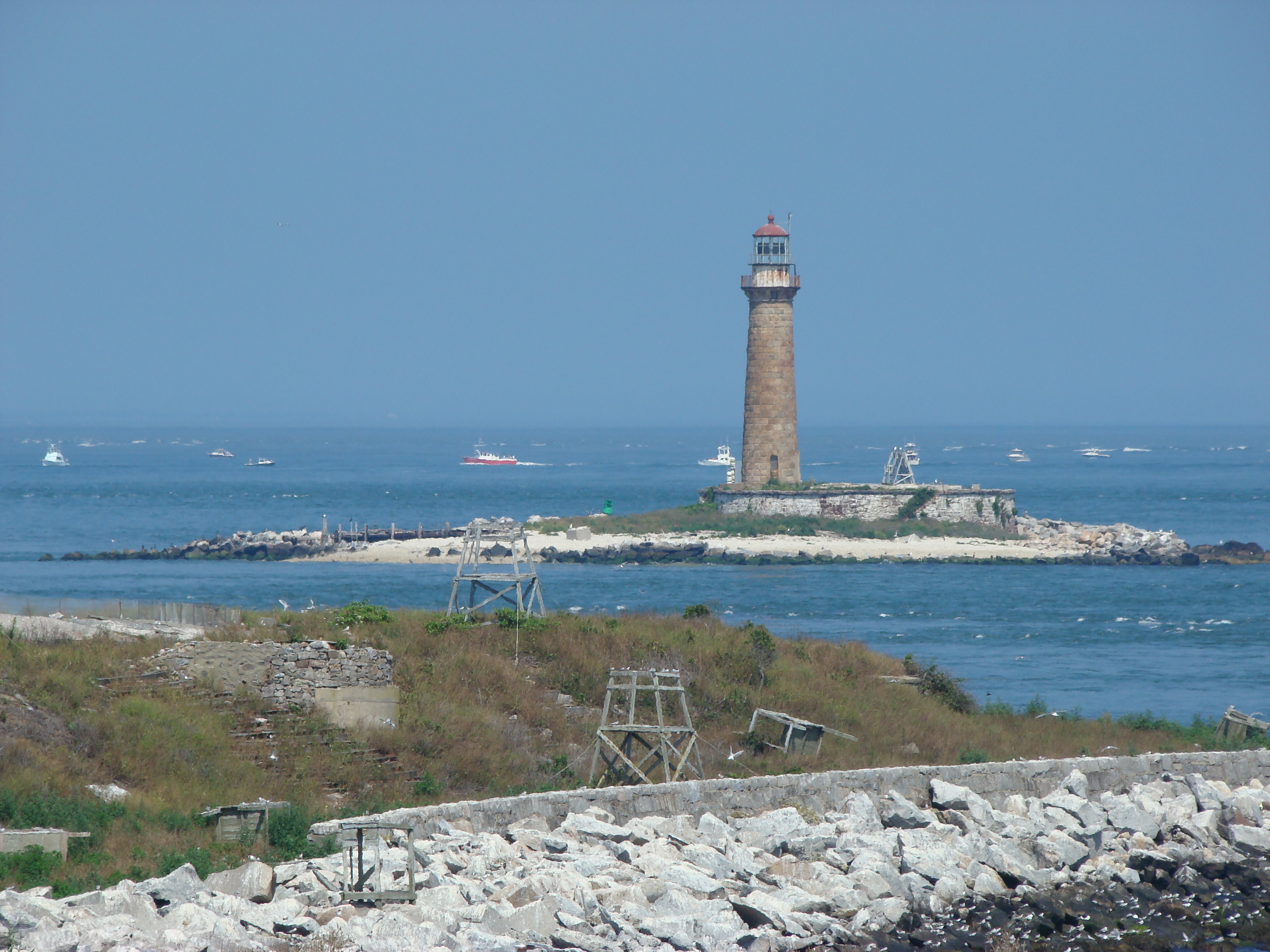 Gull IslandIslet · 1.1 mi
 CarrickabaneMountain / peak · 1.2 mi
 CarrickMountain / peak · 1.3 mi
 FinneaSettlement cluster · 2.0 mi
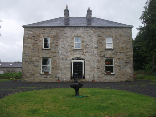 Moydristan Househouse · 1442 yd
Other information
Photo: Credit not shown in the picture search · Rights wording not checked; contact us if this picture should be removed