What is recorded here
Indicated is a ruined fairy fort above the Lyradane stream in County Cork, its earthen bank now buried inside a ordinary field fence. The circle measured thirty-five metres on old maps, but only a western arc remains, its inner face still rising one point seven metres above the pasture. Cows graze across the top of the ancient wall, unaware they walk the edge of a forgotten room. What the fort guarded, who built it, and why it was abandoned have all drifted into the soil.
In pasture, on S-facing slope, above Lyradane stream. Depicted as circular enclosure (diam. c. 35m) on 1842 OS 6-inch map. Arc (C 39.6m) formed by earthen bank (int. H 1.7m; ext. H 1m) survives W->E; incorporated into field fence system. Drain outside NW bank continues along field fence to W. Faint trace of shallow depression at base of inner bank face.
The above description is derived from the published 'Archaeological Inventory of County Cork. Volume 3: Mid Cork' (Dublin: Stationery Office, 1997). In certain instances the entries have been revised and updated in the light of recent research.
Date of upload/revision: 14 January 2009
The monument record does not grant public access. Check the route and ask the landowner before entering private land.
- What survives
- Recorded monument
Places near here
 Grave YdGraveyard · 921 yd
 EnclosureEnclosure, large enclosure · 939 yd
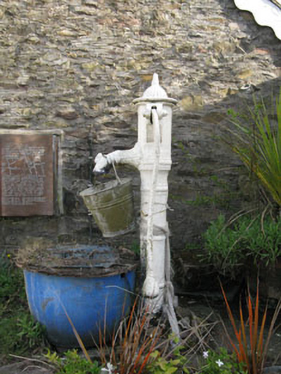 water pumpwater pump · 1363 yd
 St Laghteen's Roman Catholic Churchchurch/chapel · 1377 yd
 Castle (Site of)Castle, Anglo-Norman masonry castle · 1700 yd
 Lyradane MountainMountain / peak · 1.3 mi
 Rock HillMountain / peak · 1.3 mi
 Pairc Ath Na hEornaMemorial · 2.6 mi
 Graveyard in KilmonaGraveyard · 2.9 mi
 Ballyvodane Castle (in Ruins)Castle, unclassified · 3.6 mi
 St John's WellSpring · 3.7 mi
 New TipperaryVisitor information · 5.0 mi