What is recorded here
Indicated is a substantial oval rath in County Mayo, Ireland, where a three-metre earthen scarp still holds its shape above gently undulating grassland. Local tradition claims a shallow hollow in the south half marks an underground passage, while a modern farm track and wire boundary now cut across the ancient platform. The fort stands at the edge of ordinary pasture, large enough to suggest pride or danger, yet quiet enough to disappear into daily farm life.
In pasture, located on a rise in an area of gently undulating grassland. There is a river c. 250m to E. A farmyard is located immediately to E.
Substantially raised, oval flat-topped platform (32m NNW–SSE; 26m WSW–ENE) defined by an earthen scarp (H 3m). The platform utilises a natural sandy/gravelly rise. The interior is bisected roughly centrally by an E–W post and wire property boundary. According to local tradition, a shallow irregular-shaped hollow in the S half marks the location of a Man-made underground passage (MA063-044001-).
Interior largely grass-covered; perimeter thickly ringed with gorse, hawthorn and hazel. An E–W farm track lies immediately to N of the rath.
Compiled by: Jane O’Shaughnessy
Date of upload: 2 October 2020
The monument record does not grant public access. Check the route and ask the landowner before entering private land.
- What survives
- Recorded monument
Places near here
 ToberarraghtHoly well · 284 yd
 IndicatedFairy fort / earthen ringfort · 290 yd
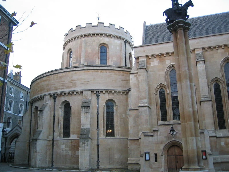 Church in TempleChurch · 519 yd
 Tavneena Househouse · 1.6 mi
 Old Cave Burial GroundArchaeological place · 5.6 mi
 East Mayo Brigade MonumentMemorial · 5.7 mi
 Rath Castle in ruinsCastle, tower house · 6.5 mi
 Bockagh HillMountain / peak · 7.4 mi
 Casatle (ruins)Castle, unclassified · 8.0 mi
 Thorn CaveCave · 8.1 mi
 Kiltimagh MuseumMuseum · 10 mi
 I'll Send You The FareMemorial · 10 mi