What is recorded here
Situated on the crest of a ridge at the rear of Glenaraneen House. The ground falls away steeply to the Slade valley and there is a stream to the S of the site. A ring barrow, the southernmost (ext. diam. 14m) of three, is defined by an outer bank (Wth 2.3-2.5m; H 1.2m) and inner fosse (Wth 2.5m; D0.45m)(DU024-009002-). The southern section of this site is formed by the bank of the outer enclosing area.
The central barrow (ext. diam. 12m) is defined by an outer bank (Wth 2.5m; H 0.3m) and inner fosse (Wth 1.1m; D 0.28m)(DU024-009003-). The N barrow (ext. diam. 11) is defined by an outer bank (Wth 2.5m; H 0.3m) and internal fosse (Wth 0.95m; D 0.25m)(DU024-009004-). The banks of the three possible ring-barrows are planted with scots pine, the outer barrow is planted with thorn. An oval or subrectangular area extending N-S (L 36m; Wth 24m) defined by a bank (Wth 2.3-2.5m; H 1.2m) and outer fosse (Wth 2.5m; D 0.45m)(DU024-009001-) encloses the three possible ring- barrows.
Compiled by: Geraldine Stout and Padraig Clancy
Revised upload on: 6 July 2018
A Neolithic ring barrow, dating to approximately 2500–2000 BCE. It is part of a small group of three barrows, indicating a possible ritual or burial landscape associated with early farming communities in the region.
The monument record does not grant public access. Check the route and ask the landowner before entering private land.
- What survives
- Recorded monument
Places near here
 IndicatedEnclosure · 2 yd
 ToberaghHoly well · 634 yd
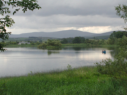 Glenaraneen Mill Pondsdam/reservoir/basin · 1145 yd
 Bridge in Lugg,sladeBridge · 1231 yd
 Verschoyle's HillMountain / peak · 1414 yd
 Saggart HillMountain / peak · 1.1 mi
 Rathcoole WoodlandWood · 1.6 mi
 CastleCastle, tower house · 1.6 mi
 Inniscara GalleryGallery · 1.9 mi
 Meadow WildlifeVisitor information · 1.9 mi
 Colmanstown Castle (in ruins)Castle, tower house · 2.8 mi
 Kilteel WoodWood · 3.4 mi