What is recorded here
Situated on the crest of a ridge at the rear of Glenaraneen House. The ground falls away steeply to the Slade valley and there is a stream to the S of the site. A ring barrow, the N barrow (ext. diam. 11) of three, is defined by an outer bank (Wth 2.5m; H 0.3m) and internal fosse (Wth 0.95m; D 0.25m)(DU024-009004-).
The central barrow (ext. diam. 12m) of three, is defined by an outer bank (Wth 2.5m; H 0.3m) and inner fosse (Wth 1.1m; D 0.28m)(DU024-009003-). The southernmost (ext. diam. 14m) of three, is defined by an outer bank (Wth 2.3-2.5m; H 1.2m) and inner fosse (Wth 2.5m; D0.45m)(DU024-009002-). The southern section of this site is formed by the bank of the outer enclosing area. The banks of the three possible ring-barrows are planted with scots pine, the outer barrow is planted with thorn. An oval or subrectangular area extending N-S (L 36m; Wth 24m) defined by a bank (Wth 2.3-2.5m; H 1.2m) and outer fosse (Wth 2.5m; D 0.45m)(DU024-009001-) encloses the three possible ring- barrows.
Compiled by: Geraldine Stout and Padraig Clancy
Revised upload on: 6 July 2018.
A Neolithic ring barrow; part of a group of three barrows, indicative of early burial practices in the region. Its location on a prominent ridge suggests ceremonial or ritual significance.
The monument record does not grant public access. Check the route and ask the landowner before entering private land.
- What survives
- Recorded monument
Places near here
 IndicatedEnclosure · 2 yd
 ToberaghHoly well · 634 yd
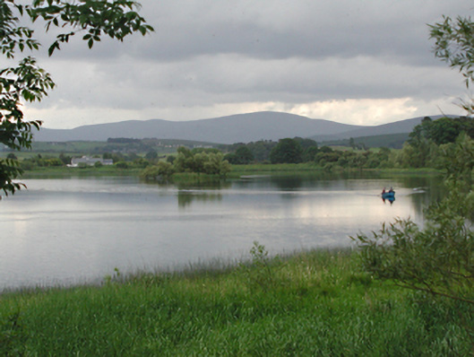 Glenaraneen Mill Pondsdam/reservoir/basin · 1145 yd
 Bridge in Lugg,sladeBridge · 1231 yd
 Verschoyle's HillMountain / peak · 1414 yd
 Saggart HillMountain / peak · 1.1 mi
 Rathcoole WoodlandWood · 1.6 mi
 CastleCastle, tower house · 1.6 mi
 Inniscara GalleryGallery · 1.9 mi
 Meadow WildlifeVisitor information · 1.9 mi
 Colmanstown Castle (in ruins)Castle, tower house · 2.8 mi
 Kilteel WoodWood · 3.4 mi