What is recorded here
Situated on W facing slope of Loyer Hill with good extensive views to the W only. This appears to be the remains of a tree-ring of 19th century date, of doubtful antiquity. Depicted as a grove of trees on the 1911 edition of the OS 6-inch map and not depicted as an antiquity. Present remains consist of a slightly raised pear-shaped platform (diam. 24m; H 0.6m) enclosed by a poorly preserved bank (Wth 3m; H 0.8m) and outer fosse (Wth 5.4m; ext. D 0.5m) best visible on upslope only. No entrance feature visible.
From the National Monuments Service (Archaeological Survey of Ireland) record OF047-011
Places near here
Photo credits
- Sarah777, Geograph · CC BY-SA 2.0
- National Inventory of Architectural Heritage
- Mike Searle, Wikimedia Commons · CC BY-SA 2.0
- Paddy Ryan, Wikimedia Commons · CC BY-SA 4.0
- Mike Searle, Geograph · CC BY-SA 2.0
- Dylan Moore, Geograph · CC BY-SA 2.0
 Enclosure in LoyerEnclosure · 630 yd
 J. CollisonHouse · 849 yd
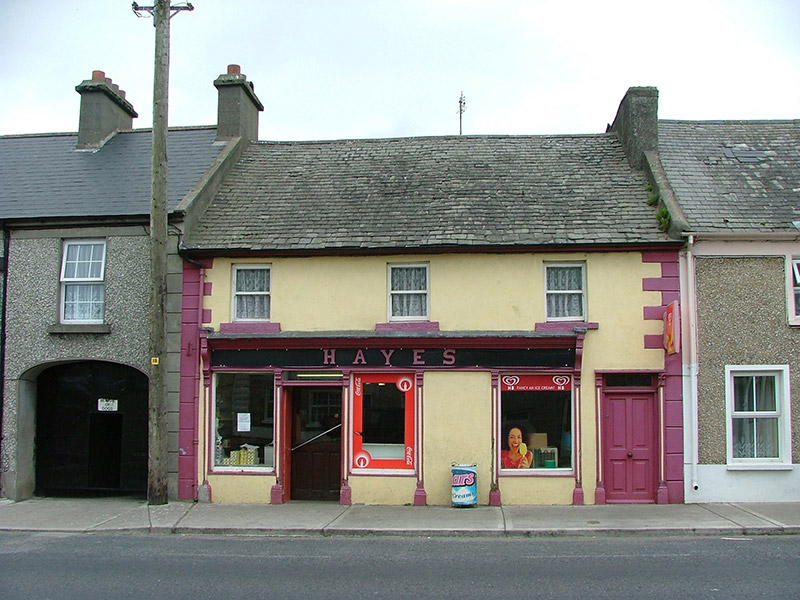 HayesHouse · 877 ydBenduffMountain / peak · 1.4 miKyleroe WoodWood · 2.5 mi
 Knockane CastleCastle · 3.2 miLongford WoodForest · 3.7 mi
 Devil's Bit MountainMountain / peak · 3.9 mi
 IndicatedBawn · 5.3 miThomas MacDonagh Heritage CentreMuseum · 6.1 miMacDonagh HouseMemorial · 6.1 mi
 BorrisokaneHistoric town · 11 mi
More archaeology and monuments in County Offaly · All of County Offaly
What do you know about this place?Tap to add a comment or ask a question