What is recorded here
Indicated is a fairy fort on a rise above Charlestown, where children still run past its earthen bank and conifers. Local tradition claims the rath served as a children’s burial ground, giving its quiet overgrowth a sharper edge. The bank remains substantial at the north, but overgrowth and old trenches have blurred what the soil once kept clear.
Located on a rise, incorporated into the grounds of a school, on the SW edge of Charlestown village.
Raised circular area (34.6m NW−SE) defined by an earthen bank, and enclosed at WSW−N by a fosse and external bank.
The substantial inner bank (Wth 5.8m; int. H 0.7m; ext. H 1.75m at NW) is best preserved at NW−N, and is lower at E (ext. H 0.8m). A field wall, on a NNW−SSE axis, clips the external slope of the bank at E−S; the field wall borders the W side of a laneway which overlies or truncates the fosse and external bank. The fosse and external bank can still be traced at WSW−N, where the fosse is evident as a shallow depression (Wth c. 4m), and the external bank survives as a low stony rise (Wth 4m; int. H 0.1-0.3m; ext. H 0.6m), planted with conifers.
The interior is level, with an uneven surface, with dense overgrowth obscuring much of the E and SE half. At the time of an inspection in 1996, there was a recently dug rectangular trench (L 7.5m NW−SE; Wth 0.7m; D 0.3m) in the NW half of the interior, and another shallow trench (Wth 1.4m) could be seen beneath overgrowth on the E side of the interior. In a previous inspection in 1982, a gap (Wth c. 3m), was noted in the bank at SE, possibly indicating the location of an original entrance (SMR file: OPW field notes 1982); it was engulfed in overgrowth during the 1996 inspection. The 1982 report recorded the local tradition that the rath was used as a children’s burial ground (MA063-004002-).
The rath is densely ringed by conifers and ash trees, and much of the interior is obscured by overgrowth. There are heaps of soil of earth and debris against the external slope of the bank at SW−W. There is another rath (MA063-005----) 175m to S.
Compiled by: Jane O’Shaughnessy
Date of upload: 12 January 2017
The monument record does not grant public access. Check the route and ask the landowner before entering private land.
- What survives
- Recorded monument
Places near here
 Saint James's Catholic Churchchurch/chapel · 393 yd
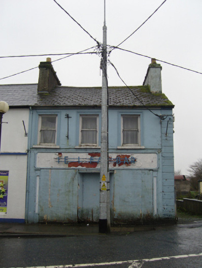 The Ideal Barhouse · 560 yd
 TobernacullyHoly well · 1.1 mi
 IndicatedFairy fort / earthen ringfort · 1.3 mi
 Old Cave Burial GroundArchaeological place · 5.0 mi
 East Mayo Brigade MonumentMemorial · 7.2 mi
 Castle (in Ruins)Castle, tower house · 7.5 mi
 Bockagh HillMountain / peak · 8.0 mi
 Rath Castle in ruinsCastle, tower house · 8.2 mi
 Thorn CaveCave · 8.5 mi
 Lough Talt TrailVisitor information · 10 mi
 KnockasliggaunMountain / peak · 11 mi