What is recorded here
Indicated is a partly levelled fairy fort in County Mayo, its low bank forming a shallow saucer across gentle pasture. A missing southwestern ditch and a vague southeastern gap suggest human hands shaped the circle before brambles and forgetting softened the edges. The fort still holds its shape because memory keeps returning to it, marking the place where imagination and soil agreed to meet.
In pasture, located on top of a slight rise, in gently undulating terrain. This possible rath has been partly levelled. It consists of a slightly raised circular area (29m NE−SW; 26m NW−SE) defined by low, partly levelled bank. The bank has a low raised internal rim, which slopes seamlessly into the interior, and a broadly slumped exterior scarp (H 0.6m at E, 0.7m at W), producing the effect of a slightly saucer-shaped profile. Outside the bank on the SW arc there is a shallow depression (Wth 3.5-4m), probably a fosse; it is not evident elsewhere around the circuit. There is a poorly defined gap/low area (Wth c. 4m) at SE, which may mark an original entrance.
There are clumps of brambles in the W half of the interior; hawthorn and ash trees on the perimeter. There is a heap of field clearance stones at the E end of the arc of fosse. A low NE-SW field bank abuts the enclosure at NW. A rath (MA063-005----) is located 190m to NE.
Compiled by: Jane O'Shaughnessy
Date of upload: 6 July 2020
The monument record does not grant public access. Check the route and ask the landowner before entering private land.
- What survives
- Recorded monument
Places near here
 Saint James's Catholic Churchchurch/chapel · 915 yd
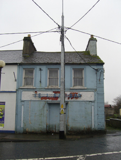 The Ideal Barhouse · 1072 yd
 IndicatedFairy fort / earthen ringfort · 1.3 mi
 TobernacullyHoly well · 1.4 mi
 Old Cave Burial GroundArchaeological place · 5.2 mi
 East Mayo Brigade MonumentMemorial · 6.9 mi
 Castle (in Ruins)Castle, tower house · 7.6 mi
 Rath Castle in ruinsCastle, tower house · 7.9 mi
 Bockagh HillMountain / peak · 8.1 mi
 Thorn CaveCave · 8.2 mi
 Lough Talt TrailVisitor information · 10 mi
 Kiltimagh MuseumMuseum · 11 mi