What is recorded here
Marked as a circular wood on the 1837 and 1928 (diam. c. 50m) eds of the OS 6-inch map, and situated on a shelf of a S-facing slope. Oval hillock (dims 56.6m N-S; 42m E-W; H 1.8-2.3m generally to 4.2m at S) defined by a drystone wall at its base. The trees have been cut. This is a natural feature planted as a tree-ring in full view of Lowberry House (RO032-054----) c. 230m to the NNW.
From the National Monuments Service (Archaeological Survey of Ireland) record RO032-055
The monument record does not grant public access. Check the route and ask the landowner before entering private land.
- What survives
- Recorded monument
Places near here
Photo credits
- National Inventory of Architectural Heritage
- Dougbermingham at en.wikipedia, Wikimedia Commons · CC0
- DanielecDalton, Wikimedia Commons · CC BY-SA 4.0
- Willow, Wikimedia Commons · CC BY 2.5
- Andreas F. Borchert, Wikimedia Commons · CC BY-SA 4.0
- ClintMalpaso, Wikimedia Commons · CC BY-SA 3.0
- Enda O Flaherty, Geograph · CC BY-SA 2.0
- Wanfried-Dublin, Wikimedia Commons · CC BY-SA 3.0
Slieve DartMountain / peak · 1.6 mi Catholic Church of Christ the KingChurch/chapel · 2.1 miwater pump2.1 miwater pump2.6 miSaint Therese's Catholic ChurchChurch/chapel · 4.0 miDunmore CastleCastle, hall-house · 5.3 miDunmore CastleCastle · 5.3 miEuropean ash13 miCloigtheach (Round Tower)Round tower · 13 miSt. Marys CathedralCathedral · 14 miKnockmaaWood · 18 miKilcoona Round TowerHeritage attraction · 22 mi
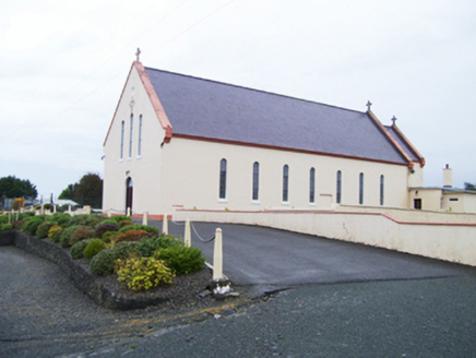 Catholic Church of Christ the KingChurch/chapel · 2.1 mi
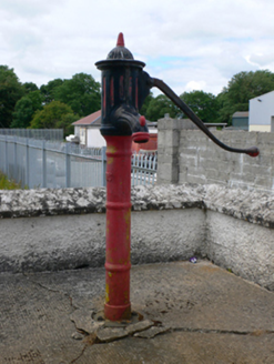 water pump2.1 mi
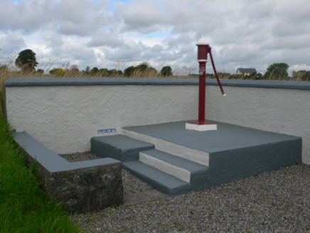 water pump2.6 mi
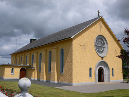 Saint Therese's Catholic ChurchChurch/chapel · 4.0 mi
 Dunmore CastleCastle, hall-house · 5.3 mi
 Dunmore CastleCastle · 5.3 mi
 European ash13 mi
 Cloigtheach (Round Tower)Round tower · 13 mi
 St. Marys CathedralCathedral · 14 mi
 KnockmaaWood · 18 mi
 Kilcoona Round TowerHeritage attraction · 22 mi
More archaeology and monuments in County Roscommon · All of County Roscommon
What do you know about this place?