
What is recorded here
On gradual SW-facing slope in undulating, hilly terrain. It is depicted on the 2nd (1904-05) ed. OS 6-inch map as a roughly circular enclosure which has been truncated in the N quadrant by an E-W field boundary and in the S quadrant by a NE-SW field boundary. Since then a public road has been constructed which runs…
Read the whole record
From the National Monuments Service (Archaeological Survey of Ireland) record TS082-001
Places near here
Photo credits
- Maker not stated on source page, en.wikipedia.org
- Mike Searle, Geograph · CC BY-SA 2.0
- Maker not stated on source page, www.pinterest.com
- Maker not stated on source page, www.flickr.com
- National Inventory of Architectural Heritage
- Chmouel Boudjnah Original uploader was Chmouel at fr.wikipedia, Wikimedia Commons · CC BY-SA 3.0
- Algirdas at Lithuanian Wikipedia, Wikimedia Commons · Public domain
 Fairy fort / earthen ringfort in Ballymacadam East,ballymacadam WestFairy fort / earthen ringfort · 734 yd
Explorer Tom Fairy fort / earthen ringfort in Ballymacadam East has a serious feud with the rain because it keeps getting soggy. The…
 Loughlohery Keating Castle (in ruins)Castle, tower house · 967 yd
Explorer Tom Loughlohery Keating Castle is just burned walls and thatch remnants, but I’m pretty sure there’s a hidden tunnel…
 Loughlohery CastleHouse, 17th century · 999 yd
Explorer Tom Loughlohery Castle has a ghost who is too lazy to haunt it because he’s currently napping in the nettles and scrap…
 Coolbane Castle (in ruins)Castle, tower house · 1145 yd
Explorer Tom Coolbane Castle in Loughlohery was knocked down in the 1940s, so the rabbits have had eighty years to redecorate with…
 Coolbane CastleCastle · 1149 yd
Explorer Tom Coolbane Castle would tell you after three pints that it actually saw the Titanic from here. It swears on its stones…
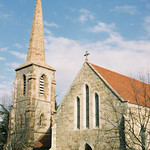 Church in KilleighChurch · 1.0 mi
Explorer Tom Church in Killeigh was involved in a fairy dispute over who got parking rights by the old road. The fairies won…
 Church in KilleenbutlerChurch · 1.3 mi
Explorer Tom Church in Killeenbutler would tell its younger self to stop hiding near the railway tracks and just be a proper church.…
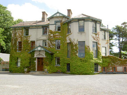 Duneske HouseCountry house · 1.4 mi
Explorer Tom Duneske House in Cahir is throwing a fit about its own bow window, insisting it’s the classiest thing on the street…
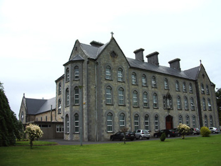 Cahir Convent of MercyConvent/nunnery · 1.5 mi
Explorer Tom Cahir Convent of Mercy in Townparks is built with such serious stone work that it makes your soul feel heavy and then…
 Memorial stone in Townparks (caher Par.)Memorial stone · 1.7 mi
Explorer Tom A memorial stone in Townparks got the map makers confused because it likes playing hard to get. It sits above a butcher…
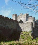 Cahir CastleHeritage attraction · 1.8 mi
Explorer Tom I came to Cahir carrying a spade; the Suir did the work first. Cahir Castle sits in the River Suir as though someone…
 Pedunculate Oak2.0 mi
Explorer Tom Pedunculate Oak in County Tipperary was planted by a builder who was really thinking about lunch rather than the soil…
More archaeology and monuments in County Tipperary · All of County Tipperary

What do you know about this place?Tap to add a comment or ask a question