What is recorded here
The Kiln in Loughakeo sits against a cliff left by quarrying the hillside. Other businesses put a sign out when they’re hungry for trade; this one had eaten a chunk of the hill behind it.
The earthwork indicated on the 1838 edition of the OS 6-inch map is a cliff-edge face or quarry face associated with a lime kiln that is indicated on this edition of the map. The lime-kiln is shown on the S face of the cliff-edge which is the result of quarrying into the hillside. This earthwork dates from the post-1700 period and has been re-classified as a lime-kiln of post-1700 date. David Sweetman, Olive Alcock and Bernie Moran.
The earthwork indicated on the 1838 edition of the OS 6-inch map is a cliff-edge face or quarry face associated with a lime kiln that is indicated on this edition of the map. The lime-kiln is shown on the S face of the cliff-edge which is the result of quarrying into the hillside. This earthwork dates from the post-1700 period and has been re-classified as a lime-kiln of post-1700 date. The above description is…
From the National Monuments Service (Archaeological Survey of Ireland) record LA013-065
The monument record does not grant public access. Check the route and ask the landowner before entering private land.
- What survives
- Recorded monument
Places near here
Photo credits
- David Purchase, Wikimedia Commons · CC BY-SA 2.0
- Darrin Antrobus, Geograph · CC BY-SA 2.0
- liam murphy, Geograph · Creative Commons Attribution-ShareAlike 2.0
- Meinirland.eu, Wikimedia Commons · CC BY-SA 3.0
- Sarah777, Wikimedia Commons · Public domain
- National Inventory of Architectural Heritage
- Malene Thyssen, Wikimedia Commons · CC BY-SA 3.0
- A.-K. D., Wikimedia Commons · CC BY-SA 4.0
- Algirdas at Lithuanian Wikipedia, Wikimedia Commons · Public domain
- Graham Horn, Geograph · CC BY-SA 2.0
 Aghnahily RingfortArchaeological place · 1056 yd
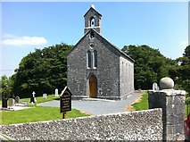 Rock of Dunamase InformationVisitor information · 1689 yd
 Holy Trinity Church (Kilteale)Church/chapel · 1699 yd
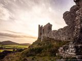 Rock of DunamaseCastle · 1.0 mi
 Rock of Dunamase, Castle (in Ruins)Castle, Anglo-Norman masonry castle · 1.0 mi
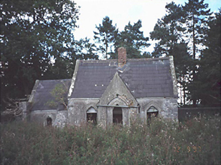 Lamberton HouseGate lodge · 1.3 mi
 European Beech2.3 mi
 CemeteryGraveyard · 3.1 mi
 Pedunculate Oak3.1 mi
 Oughaval Wood MapVisitor information · 3.4 mi
 Burial Ridge of MaryboroughMemorial · 3.8 mi
 Ridge Grave YardGraveyard · 3.9 mi
More historic places in County Laois · All of County Laois
What do you know about this place?