
What is recorded here
Situated at the entrance of a driveway to Newgrove house and farmyard. A circular grove of trees is depicted N of Newgrove House on 1837 ed. OS 6-inch map. Annotated 'fort' on the 1837 OS Fair Plan map where it is depicted as an oval shaped tree-planted enclosure with its long axis N-S in area to N of ‘Newgrove’. The Ordnance survey recorded the following about Newgrove; 'A good dwelling house with an ancient fort under plantation close by its northern side' (OSNB No. 49, 19).
Compiled by: Alison McQueen, Vera Rahilly and Caimin O’Brien
Date of upload: 18 February 2019
A local fairy fort (ringfort/rath); wider significance not recorded.
The monument record does not grant public access. Check the route and ask the landowner before entering private land.
- What survives
- Recorded monument
Places near here
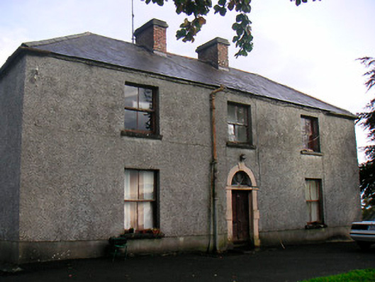 Newgrove Housefarm house · 52 yd
 Hut site in ClonkillHut site · 727 yd
 Concentric enclosure in Loughagar MoreConcentric enclosure · 883 yd
 Ramparkfarm house · 1.4 mi
 Site of CastleCastle, unclassified · 2.1 mi
 CastleCastle, unclassified · 2.1 mi
 Long PlantingForest · 2.9 mi
 Saint Brigid's WellSpring · 4.0 mi
 GinkgoGinkgo · 4.0 mi
 United Nations War MemorialMemorial · 4.2 mi
 Church IslandIsland · 4.6 mi
 Seafin HillMountain / peak · 9.9 mi
Other information
Photo: Credit not shown in the picture search · Rights wording not checked; contact us if this picture should be removed