
What is recorded here
Indicated is an oval crannog in Lough Gowna, County Longford, rising 3.3m above the lake-bed 45m west of a headland. Its dense mid-cairn and stony plateau sit on a natural shoal, suggesting people shaped an already proud place rather than building from nothing. The water still covers most of the work, leaving only enough stone to prove the lake was once lived in.
In the waters of Lough Gowna, c. 45m to the W of a headland. This oval, high-cairn crannog (31m E–W; 28m N–S) rises 3.3m above the lake-bed. A mid-cairn (6.5m E–W; 3.5m N–S), to the E, consists of densely packed subangular stones and also a small number of shattered stones. It is surrounded by a stony plateau (13.9m E–W; 13.5m N–S). The mid-cairn and plateau seem to be placed on a natural shoal.
Compiled by: Christina Fredengren
Date of upload: 13 January 2013
The monument record does not grant public access. Check the route and ask the landowner before entering private land.
- What survives
- Recorded monument
Places near here
 Enclosure in AghanoranEnclosure · 806 yd
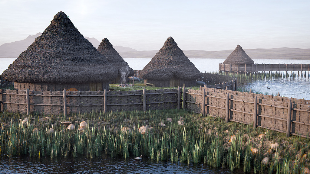 Crannog in Lough GownaCrannog · 1059 yd
 Cornamucklagh WoodlandWood · 1416 yd
 St. Columbas R.C. ChurchChurch · 1.0 mi
 CornagranMountain / peak · 1.2 mi
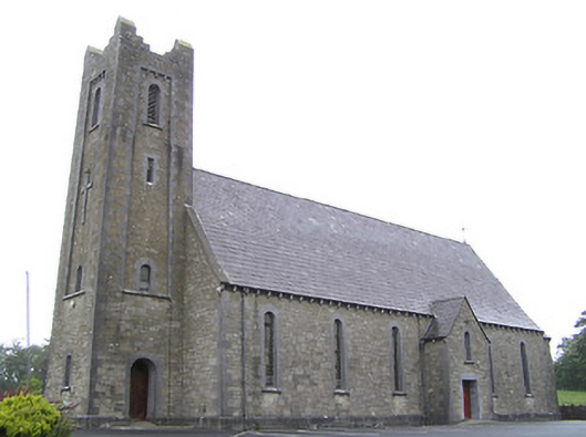 Saint Columba's Catholic Churchchurch/chapel · 1.3 mi
 Scrabby IslandIslet · 1.4 mi
 Cloone Ho.Castle, unclassified · 1.4 mi
 Mulrick WoodlandForest · 1.5 mi
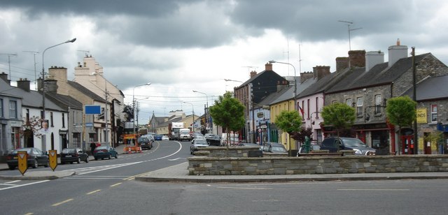 AghaveansMountain / peak · 1.6 mi
 White IslandIslet · 2.5 mi
 IdicatedCastle, unclassified · 3.4 mi
Other information
Photo: Credit not shown in the picture search · Rights wording not checked; contact us if this picture should be removed