What is recorded here
Indicated is a crannog in County Mayo, Ireland, though no visible ruin or story remains to show what it was. A crannog is a small island or platform built in shallow water, often with wood, stone and soil, and people lived or worked there when the land around was wet or contested. The name gives no date, shape or purpose, but the kind does: a human-made island in a place where water and land blurred. Whatever stood at Indicated has vanished or sunk beneath the surface, leaving only the possibility that someone shaped the marsh into a room of their own.
The Archaeological Survey of Ireland (ASI) is in the process of providing information on all monuments on The Historic Environment Viewer (HEV). Currently the information for this record has not been uploaded. To access available information for research purposes please make an appointment in advance with the Archive Unit (open Fridays 10.00 am – 5.00 pm), Department of Housing, Local Government and Heritage, The Custom House, Dublin 1 D01W6XO or email NMarchive@housing.gov.ie.
The monument record does not grant public access. Check the route and ask the landowner before entering private land.
- What survives
- Recorded monument
Places near here
 Church in ruinsChurch · 704 yd
 Doon WoodWood · 1012 yd
 BonnimilishIslet · 1269 yd
 Bird IslandIslet · 1338 yd
 Redgate ParkWood · 1355 yd
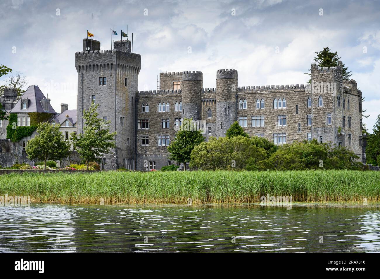 IndicatedFairy fort / earthen ringfort · 1448 yd
 Castleburke in ruinsCastle, tower house · 1595 yd
 Wall of CastleBawn · 1697 yd
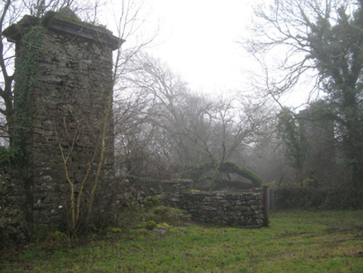 Castlecarragates/railings/walls · 1.0 mi
 Enclosure in BaunogesEnclosure · 1.3 mi
 The Celtic FurrowHeritage attraction · 1.6 mi
 Ballintubber AbbeyHeritage attraction · 2.0 mi