
What is recorded here
In boggy ground, at the W end of a former lake named 'Castle Lough' on the 1838 OS 6-inch map and below the former shoreline. Views are restricted due to the surrounding drumlins. A roughly circular low-mound crannog (17m N-S; 18.5m E-W; H 1.1m), indicated by a broken circle on the 1910-11 OS 6-inch map. The surface…
Read the whole record
From the National Monuments Service (Archaeological Survey of Ireland) record SL027-163001
Places near here
Photo credits
- Mike Searle, Geograph · CC BY-SA 2.0
- Maker not stated on source page, www.joinmychurch.com
- National Inventory of Architectural Heritage
- Maker not stated on source page, commons.wikimedia.org
- Maker not stated on source page, uk.pinterest.com
- Maker not stated on source page, www.alamy.com
- Maker not stated on source page, www.flickr.com
- St John's GAA Club Sligo; individual photographer not stated, stjohnsgaaclub.blogspot.com
- Shamrock Gaels GAA Club official website; individual photographer not stated, shamrockgaels.com
 Castle NeymoeCountry house · 428 yd
Explorer Tom Castle Neymoe is a romantic ruin in Ballysumaghan, casting an impressive presence with its Gothic style and central…
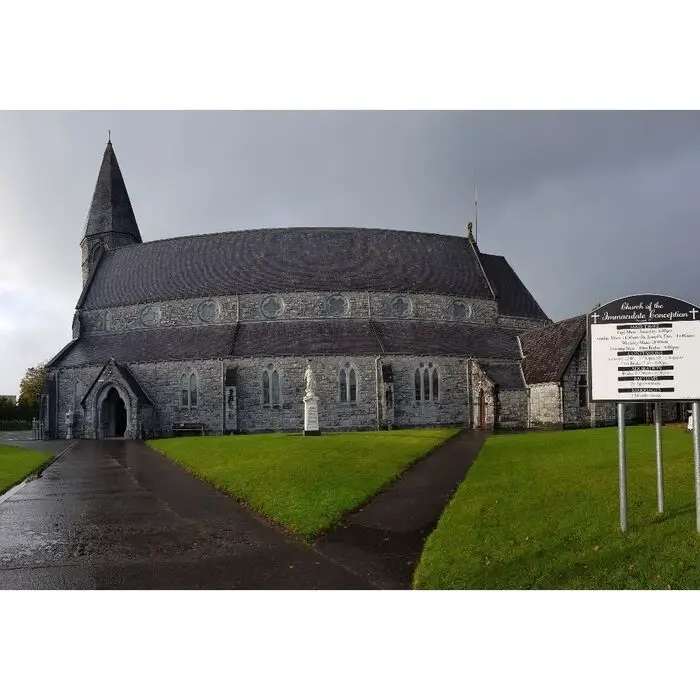 Church in BallysumaghanChurch · 592 yd
Explorer Tom Church in Ballysumaghan is basically a rumour that refuses to die, sitting hidden somewhere in the grass waiting for…
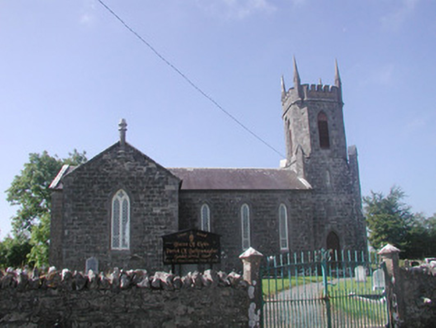 Ballysumaghan ChurchChurch/chapel · 1013 yd
Explorer Tom Ballysumaghan Church in County Sligo gave up meat for Lent but kept the limestone gate piers because they were too nice…
 Enclosure in Carricknagat (tirerrill By.)Enclosure · 1220 yd
Explorer Tom Enclosure in Carricknagat is a D-shaped bargain where the earthy bank got lazy and let a natural scarp do all the heavy…
 Fairy fort / stone ringfort in Carricknagat (tirerrill By.)Fairy fort / stone ringfort · 1249 yd
Explorer Tom Fairy fort / stone ringfort in Carricknagat is covered in overgrowth and looks like someone dumped a garden shed on top…
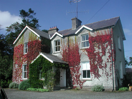 The Old RectoryRectory/glebe/vicarage/curate's house · 1328 yd
Explorer Tom The Old Rectory in Lurgan has a secret talent for juggling multiple gable fronts without looking too busy. It’s got…
 Fairy fort / earthen ringfort in ArdleebegFairy fort / earthen ringfort · 1424 yd
Explorer Tom Fairy fort / earthen ringfort in Ardleebeg claims there’s a shortcut through it, but it’s just a muddy trap for anyone…
 Anomalous stone group in ArdleebegAnomalous stone group · 1435 yd
Explorer Tom Anomalous stone group in Ardleebeg has a bird that refuses to leave, even though there are better places to nap nearby.…
 Fairy fort / earthen ringfort in RathmoneyFairy fort / earthen ringfort · 1437 yd
Explorer Tom The wind keeps picking on this Rathmoney fort because it thinks it’s a hat. It’s perched on a ridge looking smugly down…
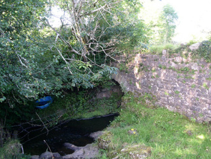 Lurgan BridgeBridge · 1.1 mi
Explorer Tom Lurgan Bridge is hiding a message in its stones that only makes sense if you know how unsophisticated local…
 Ballintogher, St. Michael's GAAGAA ground · 1.6 mi
 Shamrock Gaels GAA pitchGAA ground · 1.7 mi
More archaeology and monuments in County Sligo · All of County Sligo

What do you know about this place?Tap to add a comment or ask a question