What is recorded here
indicated is a fairy fort or earthen ringfort in Lissagallan, County Roscommon, Ireland. It occupies a broad ridge with a circular grass-covered platform measuring 37.4 metres from northeast to southwest. A rounded fosse separates this platform from an outer bank that remains partly visible despite local removal and a field bank truncation.
On a broad ridge. Circular grass-covered platform (diam. 37.4m NE-SW; H 0.6-0.7m generally to 1.2m at SW) separated by a rounded fosse (Wth of top 5.5-7m; Wth of base 2.2-4.3m; D 0.5-0.8m) from an outer bank (Wth 1.6-3.4m; H 0.35-0.7m) which has been removed at SE and slightly truncated by a NW-SE field bank at NE (max. ext. diam. 52.7m NE-SW). The fosse has been backfilled W-NNW, and there is no identifiable original entrance. Church (RO035-074001-) is c. 90m to the NE.
Compiled by: Michael Moore
Date of upload: 24 August 2010
Lissagallan is a circular early-medieval ringfort, likely dating to between the 6th and 10th centuries, characterized by a grass-covered platform and surrounding fosse and bank. Local folklore may associate such sites with fairy dwellings or ancient druidic activity, though specific traditions connected to this example are not recorded.
This remains an important historical record, but the official description says the monument is no longer visible or has been destroyed. The monument record does not grant public access. Check the route and ask the landowner before entering private land.
- What survives
- No visible remains or recorded as destroyed
Places near here
 Church (Site of)Church · 183 yd
 IndicatedFairy fort / earthen ringfort · 335 yd
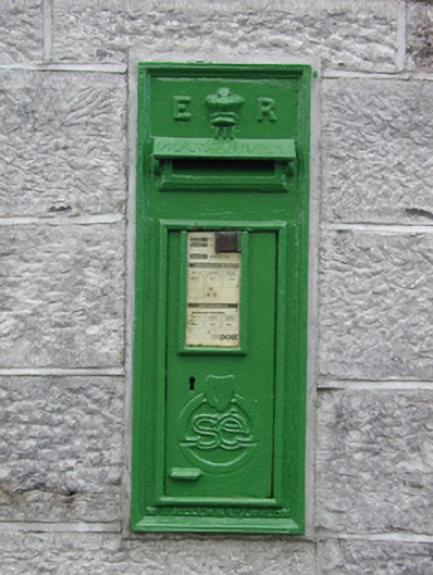 post boxpost box · 1346 yd
 RoadRoad, road/trackway · 1.6 mi
 Roscommon CastleCastle · 2.8 mi
 European ashEuropean ash · 3.6 mi
 European YewEuropean Yew · 3.6 mi
 CastleCastle, unclassified · 4.6 mi
 Leitrim CastleCastle, unclassified · 5.0 mi
 Sally IslandIslet · 7.0 mi
 Site of Killomaine Grave YardArchaeological place · 8.2 mi
 Mount MaryMountain / peak · 8.7 mi